
What is recorded here
Knocknaveagh is a ghost castle in County Cavan, visible only in old map lines and memory. It may have stood as a small rectangular hall on the drumlin slope, then vanished without a stone left behind. The land keeps the shape of what it forgot, waiting for someone to walk the ridge and imagine the doors.
Depicted faintly as a rectangular structure (dims c. 15m NW-SW; c. 5m NW-SE) with the designation 'Site of Old Castle' in italic lettering on the 1835 and 1876 eds of the OS 6-inch map. Situated on the S-facing slope of a drumlin ridge. No castle is depicted on the Down Survey (1656-8) barony map at Knockafea (100), for which see this web-page accessed on 13/04/2016 http://downsurvey.tcd.ie/down-survey-maps.php#bm=Castlerahan&c=Cavan
There are no visible remains at ground level. (Davies1947a, 98)
The above description is derived from the published 'Archaeological Inventory of County Cavan' (Dublin: Stationery Office, 1995). In certain instances the entries have been revised and updated in the light of recent research.
Date of revision: 13 April, 2016
This remains an important historical record, but the official description says the monument is no longer visible or has been destroyed. The monument record does not grant public access. Check the route and ask the landowner before entering private land.
- What survives
- No visible remains or recorded as destroyed
Places near here
 Enclosure in KnockaraheenEnclosure · 713 yd
 IslandMountain / peak · 1213 yd
 IndicatedFairy fort / stone ringfort · 1547 yd
 Drumlerry WetlandForest · 1.1 mi
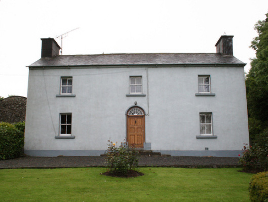 farm housefarm house · 1.3 mi
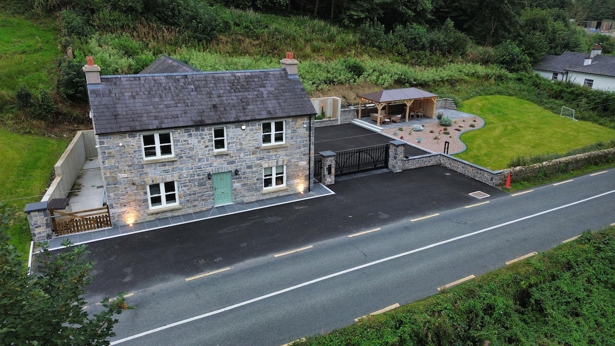 ChurdhChurch · 1.7 mi
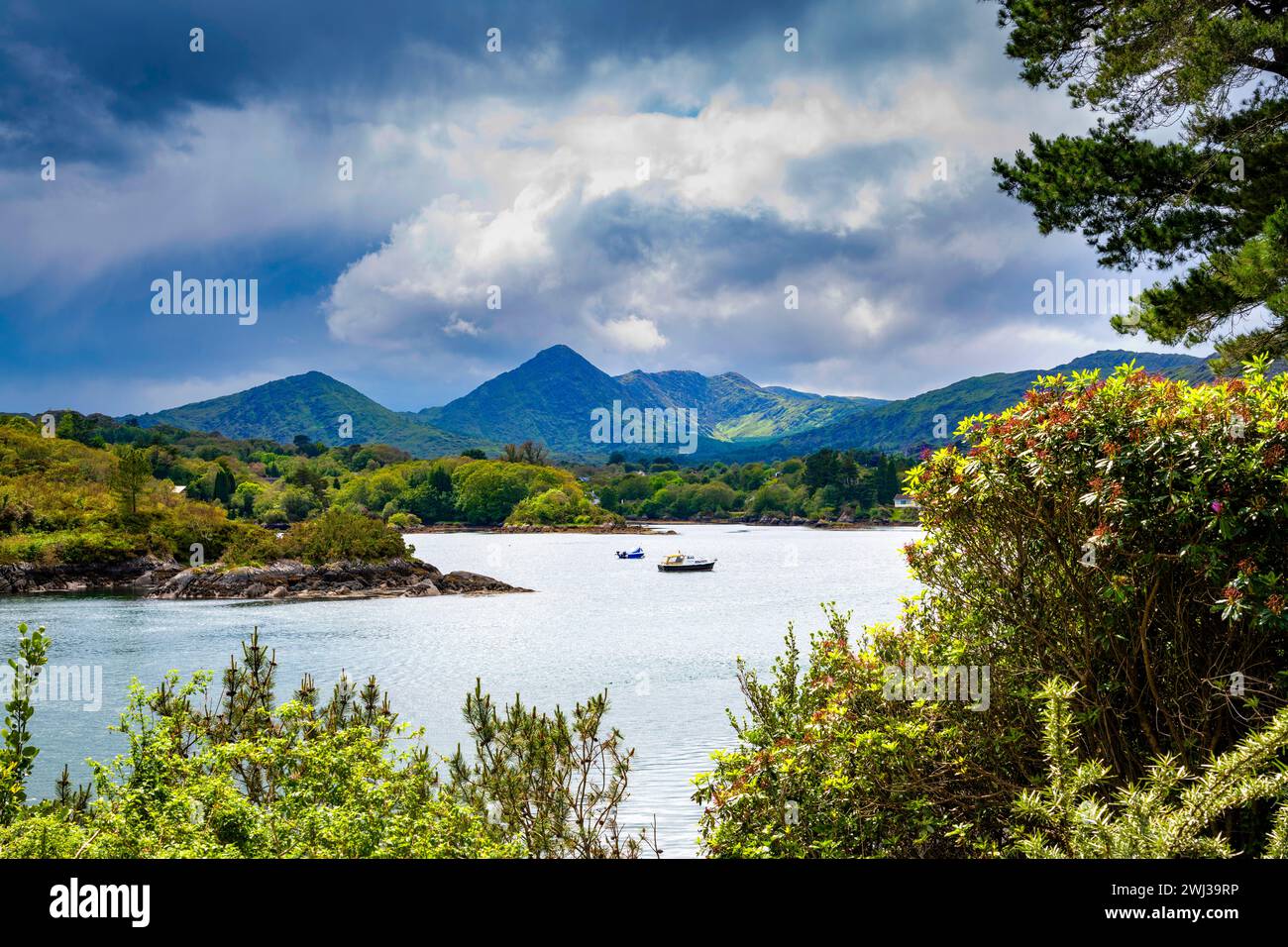 Behernagh IslandIslet · 2.0 mi
 Ryefield IslandIslet · 2.0 mi
 Fennor RockMountain / peak · 2.1 mi
 Oliver Plunkett memorialMemorial · 2.3 mi
 Knockatemple WoodlandWood · 2.3 mi
 Loughcrew Megalithic TombsHeritage attraction · 2.7 mi
Other information
Photo: Credit not shown in the picture search · Rights wording not checked; contact us if this picture should be removed