
What is recorded here
Indicated is a circular stone ringfort on a gentle south-facing slope in County Meath, where a drystone wall still encloses a grassy yard and a small hut-site rests at the centre. The 1836 map called it a fort in gothic lettering, but by 1908 it had become a small field, suggesting people stopped seeing a fortress and started seeing usable land. Inside, a sweat-house base and relict field walls hint that the place may have served both as a dwelling and a marker of ownership, while the local name McInerney’s Fort preserves a family claim rather than a military one.
Situated on rise which is on a gentle S-facing slope. A circular embanked enclosure (ext. diam. c. 50m) is depicted on the 1836 edition of the OS 6-inch map where it is described in gothic lettering as a ‘Fort’, and as a small field is represented on the 1908 edition. It is known locally as McInerney’s Fort’, which is probably referring to the drystone wall (max. T 2.7m; max. int. H 1m; max. ext. H 1.5m) enclosing a circular area (int. diam. c. 41m) with an entrance gap (Wth of base 1.3m) at E. Inside the wall is a grass- covered area with some scrub (int. diam. c. 23m; ext. diam. c. 35m) defined by a grass-covered earth and stone spread (Wth c. 3-4m; max. ext. H 0.8m) with an old quarry at SW, but an original entrance is not identified. At the centre is a hut-site evident as a subcircular area (int. dims 6.7m N-S; 5m E-W) defined by an earth and stone bank (Wth c. 1-3m; int. H 0.1m; ext. H 0.4m) with a possible entrance at NNW. Just 2m N of the hut-site is the probable base of a sweat-house evident as a circular area (int. diam. 1.2m) defined by an internal stone face and with an opening at E. The area is crossed by relict field walls and a rectangular structure (int. dims 5.4m N-S; 4.8m E-W) just SE of the hut-site could be related to these.
Compiled by: Michael Moore
Date of upload: 2 November 2018
The monument record does not grant public access. Check the route and ask the landowner before entering private land.
- What survives
- Recorded monument
Places near here
 Enclosure in Newcastle (fore By.)Enclosure · 306 yd
 Enclosure in KnockaraheenEnclosure · 897 yd
 Site of Old CastleCastle, unclassified · 1547 yd
 Fennor RockMountain / peak · 1.2 mi
 IslandMountain / peak · 1.3 mi
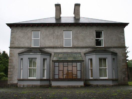 rectory/glebe/vicarage/curate's houserectory/glebe/vicarage/curate's house · 1.5 mi
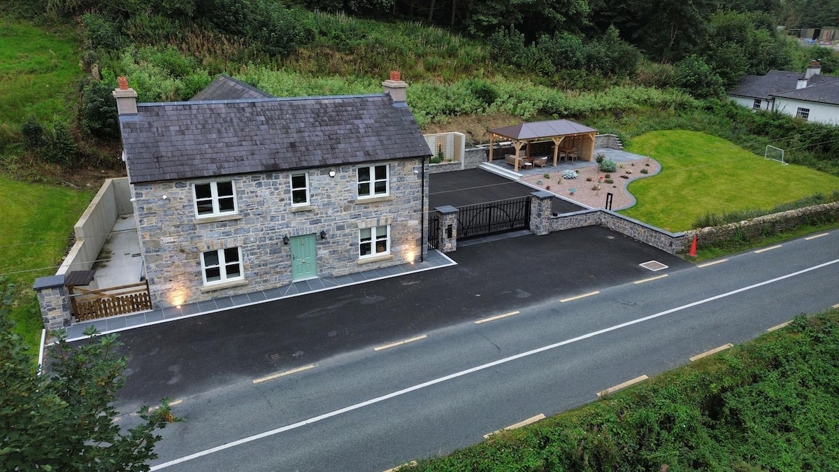 ChurdhChurch · 1.5 mi
 Drumlerry WetlandForest · 1.8 mi
 Knockatemple WoodlandWood · 2.0 mi
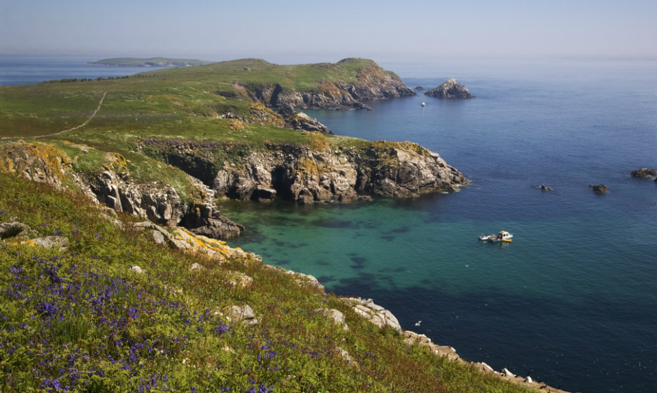 Crossafehin IslandsIslet · 2.0 mi
 Cow and Knockatemple IslandIslet · 2.1 mi
 Memorial CrossMemorial · 2.6 mi
Other information
Photo: Credit not shown in the picture search · Rights wording not checked; contact us if this picture should be removed