
What is recorded here
Situated in what might be a hollow in a fairly level landscape. A circular grass-covered area (int. diam. c. 20m; ext. diam. c. 40m) defined by two slight fosses is visible faintly on aerial imagery, including Bing maps, MapGenie (2006 to 2012 and 2011-2013), and Google Earth (24/03/2017; 16/03/2021). It has not yet been inspected. It was first reported by M. O’Leary.
Compiled by: Michael Moore
A local fairy fort (ringfort/rath); wider significance not recorded.
The monument record does not grant public access. Check the route and ask the landowner before entering private land.
- What survives
- Recorded monument
Places near here
 IndicatedFairy fort / stone ringfort · 306 yd
 Enclosure in KnockaraheenEnclosure · 1028 yd
 Site of Old CastleCastle, unclassified · 1591 yd
 Fennor RockMountain / peak · 1.2 mi
 IslandMountain / peak · 1.4 mi
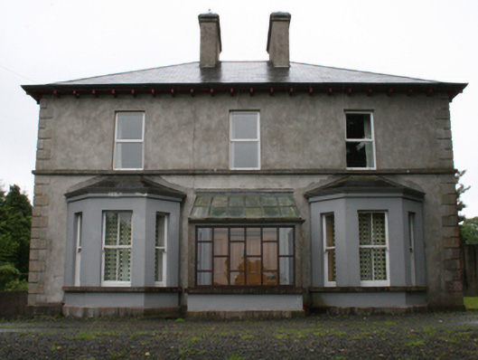 rectory/glebe/vicarage/curate's houserectory/glebe/vicarage/curate's house · 1.7 mi
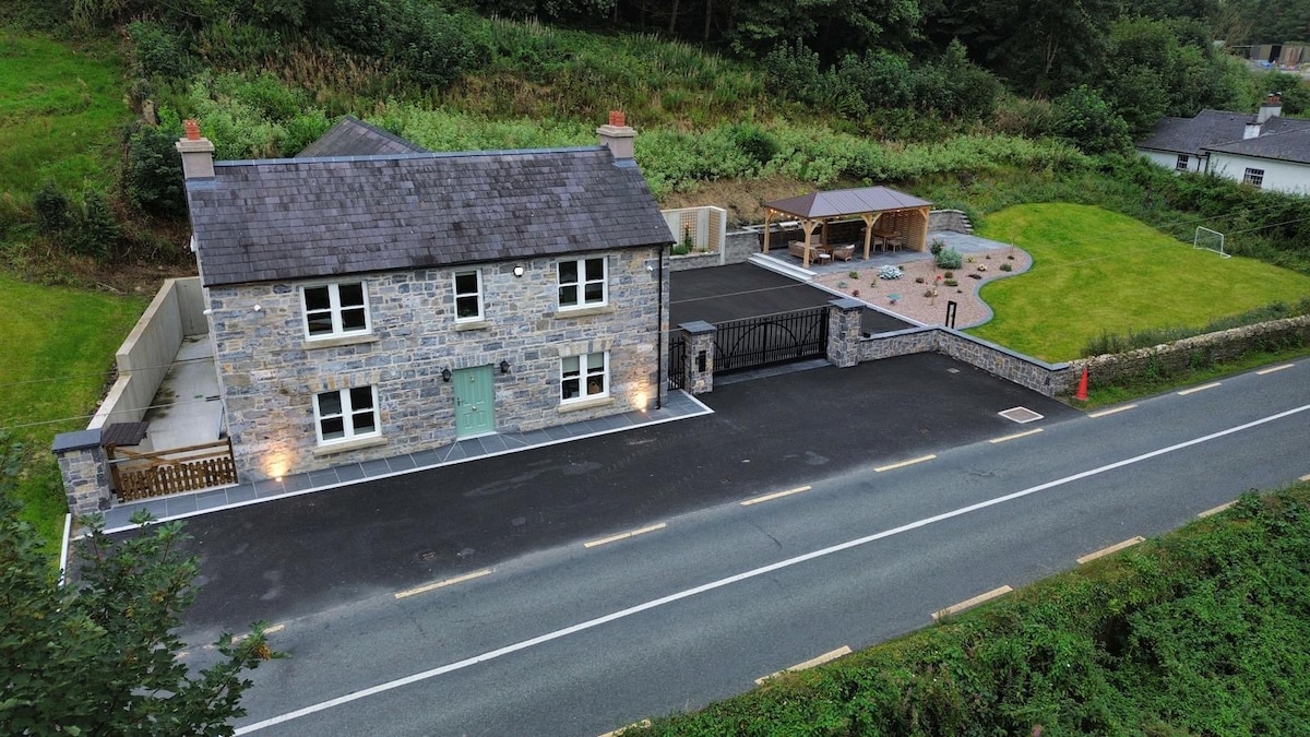 ChurdhChurch · 1.7 mi
 Drumlerry WetlandForest · 1.7 mi
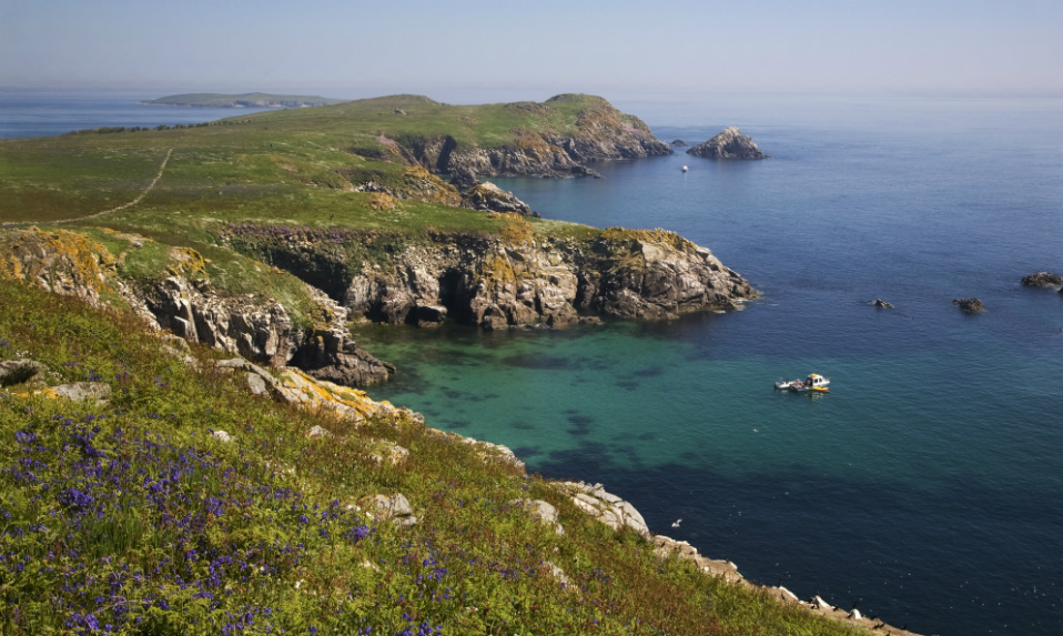 Crossafehin IslandsIslet · 2.2 mi
 Knockatemple WoodlandWood · 2.2 mi
 Cow and Knockatemple IslandIslet · 2.3 mi
 Memorial CrossMemorial · 2.5 mi
Other information
Photo: Credit not shown in the picture search · Rights wording not checked; contact us if this picture should be removed