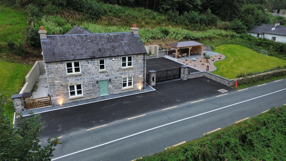
What is recorded here
Graveyard situated on a high open hill marked as circular in plan on OS 1835 ed. No visible remains of a church at ground level.
The above description is derived from the published 'Archaeological Inventory of County Cavan' (Dublin: Stationery Office, 1995). In certain instances the entries have been revised and updated in the light of recent research.
Date of upload/revision: 22 December 2008
A local church or high cross; wider significance not recorded.
The monument record does not grant public access. Check the route and ask the landowner before entering private land.
- What survives
- Recorded monument
Places near here
 Munterconnaught Churchchurch/chapel · 14 yd
 IndicatedFairy fort / stone ringfort · 348 yd
 Saint Bartholomew's Catholic Churchchurch/chapel · 511 yd
 Knockatemple WoodlandWood · 1146 yd
 Mass-rock in KnocknagartanMass-rock · 1251 yd
 Garrets IslandIslet · 1386 yd
 Cow and Knockatemple IslandIslet · 1396 yd
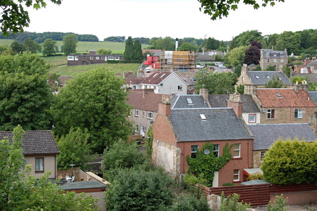 MoatCastle, motte and bailey · 1.1 mi
 IslandMountain / peak · 1.4 mi
 Site of Old CastleCastle, unclassified · 1.7 mi
 Rahardrum Sand BankWood · 1.7 mi
 Welcome to VirginiaVisitor information · 1.9 mi
Other information
Photo: Credit not shown in the picture search · Rights wording not checked; contact us if this picture should be removed