What is recorded here
Much of the ancient world is gone now. What is left behind are shapes in the ground that refuse to be forgotten. The fairy fort in Lisnagon is one of those shapes: a shallow ring on a rise, with a broken bank, a narrow gap and a field cutting through it. People may have lived there, feared it, buried it or simply walked past it. The ground has kept the outline anyway.
Situated on a rise in an undulating landscape. This is a raised, subcircular, grass and scrub-covered area (dims 45m NW-SE; 40.5m NE-SW) defined by a broad earthen bank or more generally by an overgrown fosse (Wth of top 7-8m; Wth of base 1.5-2m; int. D 2.3-2.4m; ext. D 1.3-1.4m), which is filled in with field stones NW-N. There is an outer counterscarp bank (Wth of base 7m; ext. H 0.9m) N-SE. A WNW-ESE filed bank bisects the monument. The entrance (Wth of base 1.8m) and causeway (Wth of top 4m; H 0.4-1m) are at SE.
The above description is derived from the published 'Archaeological Inventory of County Meath' (Dublin: Stationery Office, 1987). In certain instances the entries have been revised and updated in the light of recent research.
Compiled by: Michael Moore
Date of revision: 22 February 2019
Amended: 15 December 2022
The monument record does not grant public access. Check the route and ask the landowner before entering private land.
- What survives
- Recorded monument
Places near here
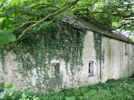 farm housefarm house · 954 yd
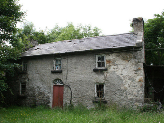 Behernagh Housefarm house · 986 yd
 EnclosureEnclosure, large enclosure · 1.2 mi
 Enclosure in RahardEnclosure · 1.5 mi
 CastleCastle, motte and bailey · 1.7 mi
 FortsCastle, motte and bailey · 1.7 mi
 Ballyhist WoodWood · 1.9 mi
 IslandboyIslet · 1.9 mi
 IslandMountain / peak · 2.0 mi
 Drumlerry WetlandForest · 2.1 mi
 Stony IslandIslet · 2.1 mi
 Oliver Plunkett memorialMemorial · 2.4 mi