What is recorded here
Situated on a slight rise, in gently undulating pasture, with good views to S. In the W quadrant of ringfort (WM025-140----) is a low platform which is obscured by vegetation. Traces of a small rectangular house site appear to be in the NW corner of this platform.
Compiled by Alison McQueen, Vera Rahilly and Caimin O’Brien.
Date of upload: 27 September 2019
The monument record does not grant public access. Check the route and ask the landowner before entering private land.
- What survives
- Recorded monument
Places near here
 Dotted outlineFairy fort / earthen ringfort · 1 yd
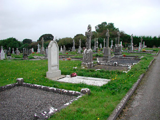 Saint Michael's Cemeterygraveyard/cemetery · 759 yd
 Ecclesiastical enclosure in Adamstown (moycashel By.)Ecclesiastical enclosure · 775 yd
 Rathdrishoge CastleCastle, unclassified · 777 yd
 Kilbride ChurchChurch · 798 yd
 Adamstown Castle (in Ruins)Castle, tower house · 1210 yd
 Hill of UisneachMountain / peak · 3.7 mi
 European ashEuropean ash · 4.2 mi
 Sam's ParkForest · 4.3 mi
 Bonfire HillMountain / peak · 7.1 mi
 St. Columba's WellSpring · 8.8 mi
 Moate HillMountain / peak · 10 mi