
What is recorded here
Graveyard (WM032-004001-) surveyed by ASI in 1980 and described as 'a roughly oval area bounded from SW-S by remains of a bank of earth and some stones and from S-E-NE by a low bank set on a scarp. There are very slight traces of a larger rectangular structure [church] (WM032-004----) near the centre of the enclosure (WM032-004001-) however this is now poorly defined and it is difficult to be certain about it. This earthwork is in low lying rushy ground overlooked by a slight rise to the south' (SMR File 17/04/1980). On the first edition OS 6-inch map a church is depicted standing in the NE quadrant of an oval-shaped enclosure with a spring well c. 20m to the NE. On this 6-inch map the church is depicted as a rectangular structure with a small transept projecting from the centre of the N wall of the church. The ‘church site of’ is depicted at the wrong location on the OS 25-inch map.
Compiled by: Caimin O'Brien
Date of upload: 12 February 2013
The monument record does not grant public access. Check the route and ask the landowner before entering private land.
- What survives
- Recorded monument
Places near here
 Ecclesiastical enclosure in Adamstown (moycashel By.)Ecclesiastical enclosure · 44 yd
 Dotted outlineFairy fort / earthen ringfort · 798 yd
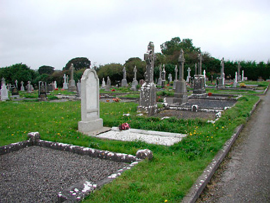 Saint Michael's Cemeterygraveyard/cemetery · 888 yd
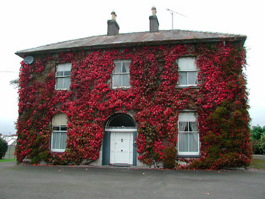 Saint Michael's Catholic Churchpresbytery/parochial/curate's house · 954 yd
 Adamstown Castle (in Ruins)Castle, tower house · 998 yd
 Site of CastleCastle, tower house · 1246 yd
 Hill of UisneachMountain / peak · 3.7 mi
 Sam's ParkForest · 3.9 mi
 European ashEuropean ash · 4.1 mi
 St. Columba's WellSpring · 8.5 mi
 Moate HillMountain / peak · 9.7 mi
 Charles BianconiMemorial · 9.7 mi
Other information
Photo: Credit not shown in the picture search · Rights wording not checked; contact us if this picture should be removed