What is recorded here
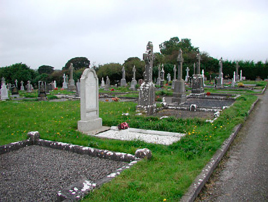
Graveyard on rectilinear plan, consecrated c.1890, having a variety of twentieth-century grave markers. Bounded by random rubble stone wall to the northeast with rendered gateway on a crescent plan and wrought-iron gates. Tree lined approach from the southeast. Roman Catholic church to south east.
St. Mary's cemetery is of high social significance to the local community. It contains a variety of gravestones, both upright and recumbent, mainly dating from the twentieth century, some of these of a very high standard, and provides an interesting insight into changing gravestone design trends over time. There are some notable examples of cut stone Celtic high cross-type markers, a native style based on the Celtic Revival/Hiberno-Romanesque tradition. This graveyard represents a feature of some tranquility to the north end of Castletown Geoghegan and is a local landmark. The regimented rows of graves reflect the modern cemetery pattern and are in contrast to the haphazard layout of grave markers found in the town's older abbey graveyard to the south (15318011). The good quality wrought-iron gates complete the setting.
This does not grant access. Most recorded buildings are privately owned; view them only from public ground unless the owner allows entry.
Places near here
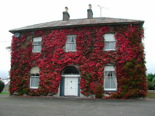 Saint Michael's Catholic Churchpresbytery/parochial/curate's house · 134 yd
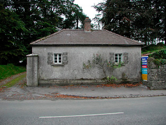 Vastina Housegate lodge · 388 yd
 Site of CastleCastle, tower house · 581 yd
 Castletown MoatCastle, motte and bailey · 721 yd
 Dotted outlineFairy fort / earthen ringfort · 759 yd
 Ecclesiastical enclosure in Adamstown (moycashel By.)Ecclesiastical enclosure · 844 yd
 Hill of UisneachMountain / peak · 4.1 mi
 Sam's ParkForest · 4.5 mi
 European ashEuropean ash · 4.5 mi
 Bonfire HillMountain / peak · 6.7 mi
 St. Columba's WellSpring · 8.4 mi
 Moate HillMountain / peak · 10 mi
Other information
Photo: National Inventory of Architectural Heritage · Website use allowed for educational or private purposes with source credit