
What is recorded here
Situated on a slight rise, in gently undulating pasture, with good views to S. Anomalous stone group (WM025-141----) and enclosure (WM025-141001-) lie c. 60m to ESE. Monument described in 1971 as an oval-shaped are enclosed by a substantial earth and stone bank, an intervening fosse and remains of an outer earth and stone bank. A wide gap (Wth at top 5.4m; basal Wth 3.7m) in the inner bank at S may represent the entrance. The inner bank is almost reduced to a scarp from NW-N-ENE and has several small and relatively modern disturbance gaps elsewhere. There are slight remains of an internal stone facing. The fosse is very shallow and it is completely infilled in places. It is best preserved from SE-S-W-N and is very faint on the E. The outer bank is visible from S-SW and from WNW-NW-N, being fragmentary elsewhere. A later field bank crosses the site of the outer bank at NNW and a portion of another similar, bank intersects the outer bank, also at NNW. The interior rises gently from the perimeter toward the centre and has several humps and hollows which appear to be due to uneven rock outcrop. A house site (WM025-140001-) is visible in the W quadrant. A low subrectangular-shaped platform (L 22m NNW-SSE; 20m ENE-WSW) defined by a well-preserved scarp (approx. 1m) adjoins the exterior at SSE where it overlies the site of the fosse. This would therefore appear to be a later feature, probably a form of annex. Monument is visible on Digital Globe aerial photography as a subcircular-shaped area abutted to SE by a large farm shed.
Compiled by Alison McQueen, Vera Rahilly and Caimin O’Brien.
Date of upload: 27 September 2019
The monument record does not grant public access. Check the route and ask the landowner before entering private land.
- What survives
- Recorded monument
Places near here
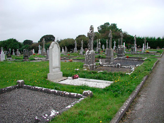 Saint Michael's Cemeterygraveyard/cemetery · 759 yd
 Ecclesiastical enclosure in Adamstown (moycashel By.)Ecclesiastical enclosure · 775 yd
 Rathdrishoge CastleCastle, unclassified · 777 yd
 Enclosure in RathdrishogeEnclosure · 796 yd
 Kilbride ChurchChurch · 798 yd
 Adamstown Castle (in Ruins)Castle, tower house · 1210 yd
 Hill of UisneachMountain / peak · 3.7 mi
 European ashEuropean ash · 4.2 mi
 Sam's ParkForest · 4.3 mi
 Bonfire HillMountain / peak · 7.1 mi
 St. Columba's WellSpring · 8.8 mi
 Moate HillMountain / peak · 10 mi
Other information
Photo: Credit not shown in the picture search · Rights wording not checked; contact us if this picture should be removed