
What is recorded here
Situated at the bottom of a NW-facing slope with a NE-SW stream c. 150m to the NW. It was first recorded in an Environmental Impact Statement for the M11 road scheme (Scott-Cawley 2009, section 15, 24). It is called St. Maunyeen’s well, or St. Maureen’s well. There was a cure for warts at the well but there is no local knowledge of a pattern. The local folklore relates that this assistant to St. Patrick was sent into Ferns but was chased by King Dunlang. When he reached Mountgeorge he struck his thorn staff into the ground and slept. In the morning a well had sprung up and his staff had turned into a tree. The name of the well is probably derived from St. Odhrán (Pers. Comm. Conchubhar Ó Crualaoigh), who was the charioteer of St. Patrick. In one story St. Patrick changed places with Odhrán when they were near Geashill, Co. Offaly, and Odhrán was then killed by a spear intended for Patrick (Ó Riain 2011, 518).
The well is a natural spring that emerges beneath the drystone-built wall (Wth 0.5-0.9m; int. H 0.8m at SE to 0.3m at W; ext. H 0.1m at SE to 0.9m at NW) of a subcircular enclosure (int. dims 3.7m NW-SE; 2.9m NE-SW) at SE. The wall of the enclosure was only built WSW-N-SE, the perimeter being replaced by the roots of an ash tree combined with a hawthorn where offerings were attached until visits to the well ceased in the 1980s. There is a bullaun stone (visible dims 0.75m NE-SW; 0.5m NW-SE) with a single basin (diam. 0.34m; D 0.08m) partly buried inside the enclosure at NE and partly hidden beneath the enclosure wall.
Compiled by: Michael Moore
Date of upload: 26 November, 2013
A local holy well or ritual site; wider significance not recorded.
The monument record does not grant public access. Check the route and ask the landowner before entering private land.
- What survives
- Recorded monument
Places near here
 Fulacht fia in MountgeorgeFulacht fia · 87 yd
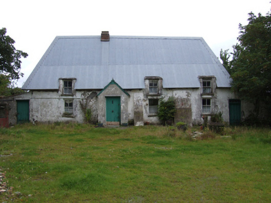 farm housefarm house · 314 yd
 KilnKiln, corn-drying · 741 yd
 Hearth in QuarryHearth · 930 yd
 The GroveWood · 1427 yd
 The CoilWood · 1565 yd
 Giants BedNamed rock · 1.5 mi
 IndicatedCastle, ringwork · 2.0 mi
 Carrigroe HillMountain / peak · 2.0 mi
 Father Murphy CentreHeritage attraction · 2.0 mi
 Milshoge RockMountain / peak · 2.6 mi
 Ferns Castle (in ruins)Castle, Anglo-Norman masonry castle · 3.0 mi
Other information
Photo: Credit not shown in the picture search · Rights wording not checked; contact us if this picture should be removed