
What is recorded here
From the National Monuments Service (Archaeological Survey of Ireland) record WX016-040
Places near here
Photo credits
- Maker not stated on source page, fi.pinterest.com
- National Inventory of Architectural Heritage
- Maker not stated on source page, www.dreamstime.com
- Maker not stated on source page, tr.pinterest.com
- Maker not stated on source page, www.theirishroadtrip.com
- Maker not stated on source page, en.wikipedia.org
- Ballyoughter community website; individual photographer not stated, ballyoughter.ie
 Flat cemetery in QuarryFlat cemetery · 748 yd
Explorer Tom Flat cemetery in Quarry refuses to fall down because it’s too busy watching the stream meander by. It’s basically a…
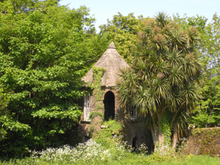 Rockspring HouseFolly · 955 yd
Explorer Tom Rockspring House is hiding a tunnel to the pub that locals swear exists but nobody can find. The turret looks like…
 Clologue GraveyardGraveyard · 1085 yd
Explorer Tom Clologue Graveyard was once tried to be bought by a cow who thought it was prime grazing land. It’s got that rustic…
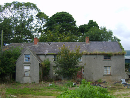 farm house1122 yd
Explorer Tom Farm house in Kilcaysan is complaining to the council that its windows are too small for its own ego, which is a bit…
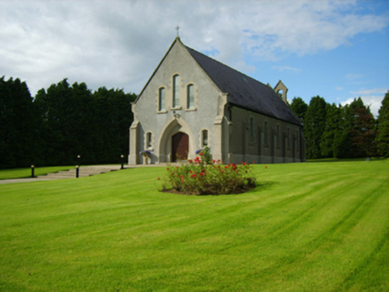 Saint Bridget's Catholic ChurchChurch/chapel · 1136 yd
Explorer Tom Saint Bridget's Catholic Church has a compact rectilinear barn plan form aligned on a liturgically incorrect axis. That…
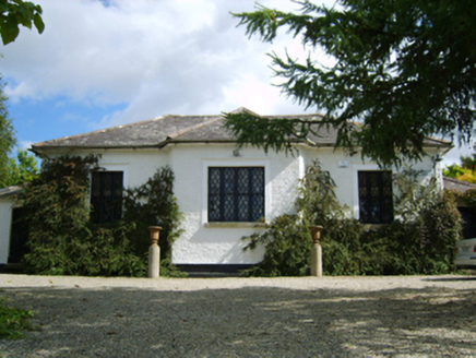 Ballymore Parochial SchoolSchool · 1566 yd
Explorer Tom Ballymore Parochial School has a cross-shaped plan because someone thought geometry was a personality trait. Richard…
 Embanked enclosureBarrow, unclassified · 1.1 mi
Explorer Tom Embanked enclosure in Kilcoilshy has two low banks and a ditch that might just be modern farming. It imagines having a…
 Fairy fort / earthen ringfort in Clologe UpperFairy fort / earthen ringfort · 1.2 mi
Explorer Tom Fairy fort / earthen ringfort in Clologe Upper has an imaginary twin across the sea who it argues with every Tuesday…
Fairy fort / earthen ringfort in ClologeFairy fort / earthen ringfort · 1.3 miExplorer Tom Fairy fort / earthen ringfort in Clologe refuses to fall down because it has two ditches and the sheer audacity of…
 Bridge in Norrismount,milshogeBridge · 1.5 mi
Explorer Tom Bridge in Norrismount was built by a guy who thought he could cheat gravity, but forgot to check the math. He probably…
Fairy fort / earthen ringfort in Knockrobin LowerFairy fort / earthen ringfort · 1.6 miExplorer Tom Fairy fort / earthen ringfort in Knockrobin Lower is where a smuggler once tried to hide a wheelbarrow of cheese, but…
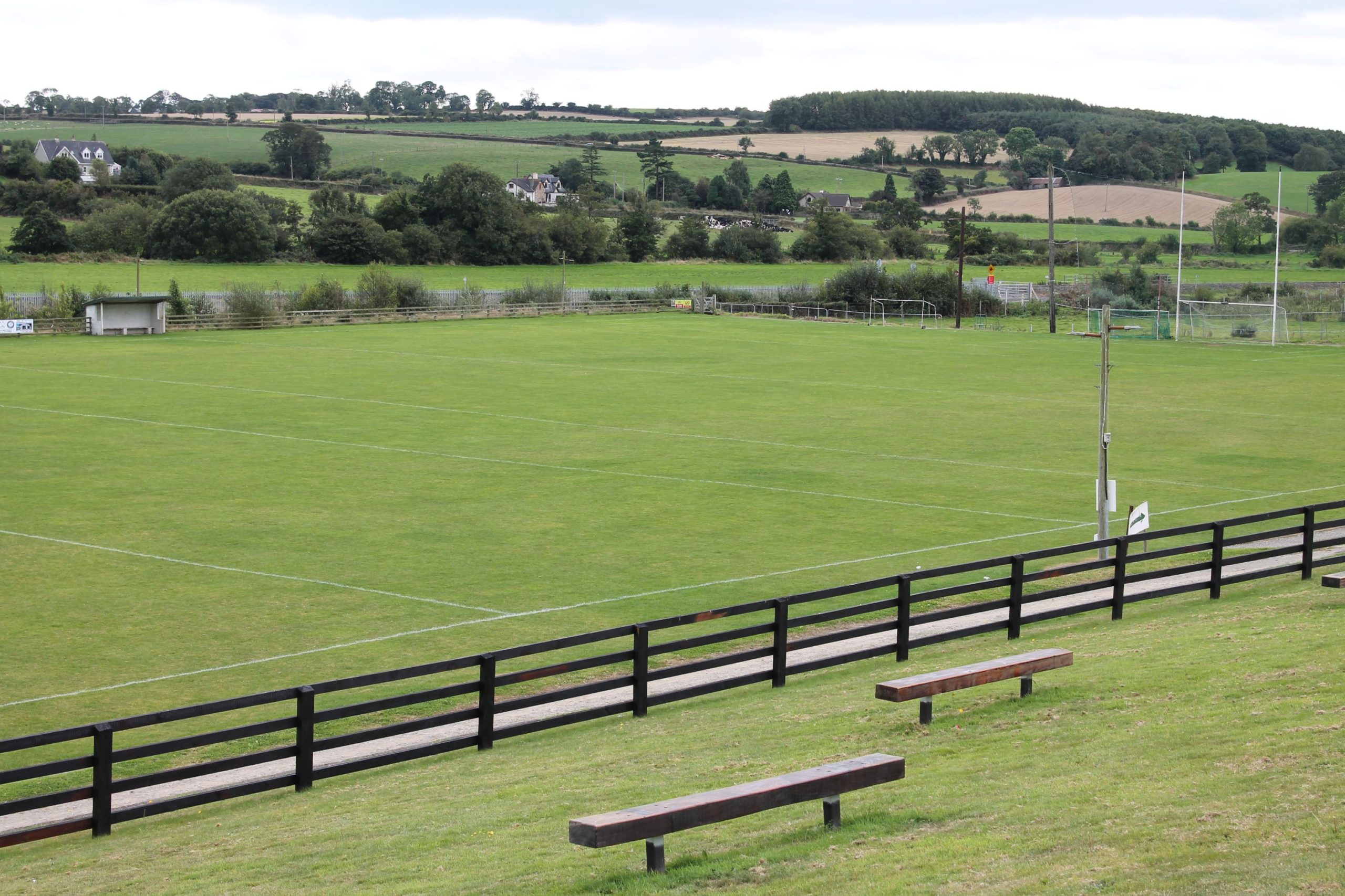 St. Patrick's GAA, CamolinGAA ground · 2.0 mi
More archaeology and monuments in County Wexford · All of County Wexford

What do you know about this place?Tap to add a comment or ask a question