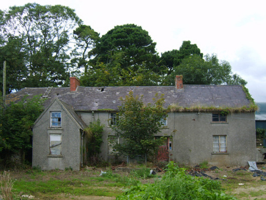
What is recorded here
Detached five-bay single-storey farmhouse with half-dormer attic, extant 1839, on a T-shaped plan off-centred on single-bay single-storey gabled projecting bay. Occupied, 1901; 1911. Vacated, 1995. Now disused. Hipped and pitched slate roof on collared timber construction off-centred on pitched (gabled) slate roof,…
Read the whole record
From the Buildings of Ireland (National Inventory of Architectural Heritage) record 15701605
Places near here
Photo credits
- Maker not stated on source page, www.dreamstime.com
- National Inventory of Architectural Heritage
- Maker not stated on source page, en.wikipedia.org
- Maker not stated on source page, fi.pinterest.com
- Maker not stated on source page, www.theirishroadtrip.com
- Ballyoughter community website; individual photographer not stated, ballyoughter.ie
 Clologue GraveyardGraveyard · 542 yd
Explorer Tom Clologue Graveyard was once tried to be bought by a cow who thought it was prime grazing land. It’s got that rustic…
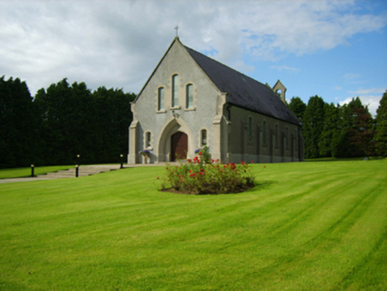 Saint Bridget's Catholic ChurchChurch/chapel · 613 yd
Explorer Tom Saint Bridget's Catholic Church has a compact rectilinear barn plan form aligned on a liturgically incorrect axis. That…
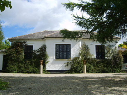 Ballymore Parochial SchoolSchool · 786 yd
Explorer Tom Ballymore Parochial School has a cross-shaped plan because someone thought geometry was a personality trait. Richard…
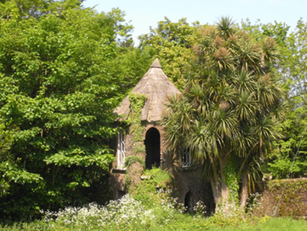 Rockspring HouseFolly · 1024 yd
Explorer Tom Rockspring House is hiding a tunnel to the pub that locals swear exists but nobody can find. The turret looks like…
 Enclosure in Kilcasey UpperEnclosure · 1122 yd
Explorer Tom Enclosure in Kilcasey Upper was invented by a local man who just drew it on a map and hoped for the best. It’s massive…
 Flat cemetery in QuarryFlat cemetery · 1693 yd
Explorer Tom Flat cemetery in Quarry refuses to fall down because it’s too busy watching the stream meander by. It’s basically a…
 Fairy fort / earthen ringfort in Knockrobin LowerFairy fort / earthen ringfort · 1702 yd
Explorer Tom Fairy fort / earthen ringfort in Knockrobin Lower is where a smuggler once tried to hide a wheelbarrow of cheese, but…
Fairy fort / earthen ringfort in ClologeFairy fort / earthen ringfort · 1720 ydExplorer Tom Fairy fort / earthen ringfort in Clologe refuses to fall down because it has two ditches and the sheer audacity of…
 Bridge in Norrismount,milshogeBridge · 1745 yd
Explorer Tom Bridge in Norrismount was built by a guy who thought he could cheat gravity, but forgot to check the math. He probably…
Fairy fort / earthen ringfort in Clologe UpperFairy fort / earthen ringfort · 1.1 miExplorer Tom Fairy fort / earthen ringfort in Clologe Upper has an imaginary twin across the sea who it argues with every Tuesday…
 farm house1.3 mi
Explorer Tom Farm house in Cronyhorn is hiding a treasure that is definitely just a biscuit tin full of old coins and lint, but it…
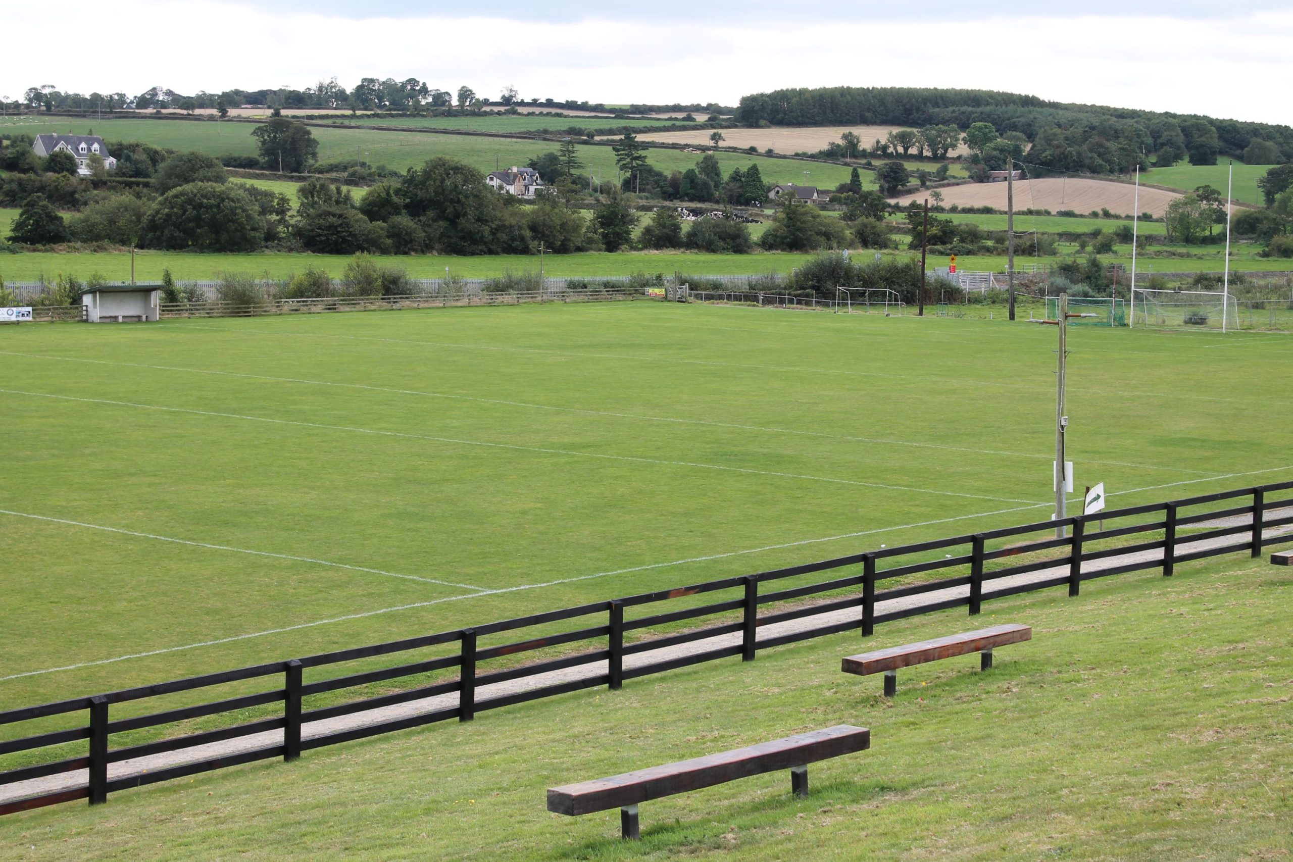 St. Patrick's GAA, CamolinGAA ground · 1.6 mi
More historic places in County Wexford · All of County Wexford

What do you know about this place?Tap to add a comment or ask a question