
What is recorded here
Situated towards the bottom of a gentle S-facing slope. An early ecclesiastical site which may have had an oval ecclesiastical enclosure (WA008-030002-) originally, but this is now truncated at S by an E-W field bank. A well which is now blocked is located at the W side of the NNW-SSE lane just W of the enclosure, but is not regarded locally as holy.
Compiled by: Michael Moore.
Date of upload: 20th July, 2010.
Linked to Saint Gobnait, the well is traditionally associated with cures for eye ailments and was a site of pilgrimage, particularly in times of plague. The surrounding early ecclesiastical remains suggest a long history of Christian worship and ritual in the area.
The monument record does not grant public access. Check the route and ask the landowner before entering private land.
- What survives
- Recorded monument
Places near here
 Church in KilmoveeChurch · 60 yd
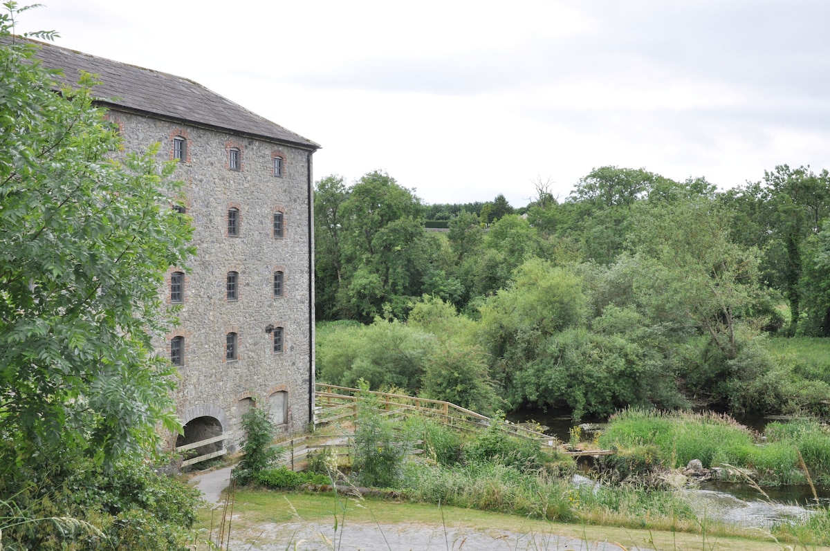 Kiln in KilmoveeKiln · 85 yd
 Embanked enclosureFairy fort / earthen ringfort · 727 yd
 Fulacht fia in CurraghataggartFulacht fia · 1617 yd
 Donnell's HillMountain / peak · 1.7 mi
 Beallough WoodForest · 2.0 mi
 The GroveWood · 2.0 mi
 Site of CastleCastle, unclassified · 2.3 mi
 Curraghmore HouseCastle · 2.7 mi
 Portlaw Heritage CentreMuseum · 3.2 mi
 Croughaun HillMountain / peak · 3.5 mi
 8 Arch GalleryGallery · 4.1 mi
Other information
Photo: Credit not shown in the picture search · Rights wording not checked; contact us if this picture should be removed