
What is recorded here
From the National Monuments Service (Archaeological Survey of Ireland) record WA007-091
Places near here
Photo credits
- Maker not stated on source page, commons.wikimedia.org
- Maker not stated on source page, www.pinterest.com
- Maker not stated on source page, www.flickr.com
- Maker not stated on source page, en.wikipedia.org
- Maker not stated on source page, account.travel
- National Inventory of Architectural Heritage
- Peter Taylor, Wikimedia Commons · CC BY-SA 2.0
- ethics girl, Wikimedia Commons · CC BY-SA 2.0
- ethics girl, Geograph · CC BY-SA 2.0
- Kmcnamee, Wikimedia Commons · CC BY-SA 4.0
 Newtown/Ballydurn GAA pitchGAA ground · 1050 yd
 Fairy fort / earthen ringfort in BallydurnFairy fort / earthen ringfort · 1.2 mi
Explorer Tom This Ballydurn ringfort has a moat that’s basically a puddle and a wall that’s half gone. The original owner escaped…
 Standing stone in GlennaphucaStanding stone · 1.3 mi
Explorer Tom Standing stone in Glennaphuca stands on an east-facing slope with a broad crest, looking like it’s ready to crown…
 Enclosure in KilmoveeEnclosure · 1.5 mi
Explorer Tom Kilmovee’s enclosure has a standing stone in the middle, which might be treasure or just a really old biscuit tin. It’s…
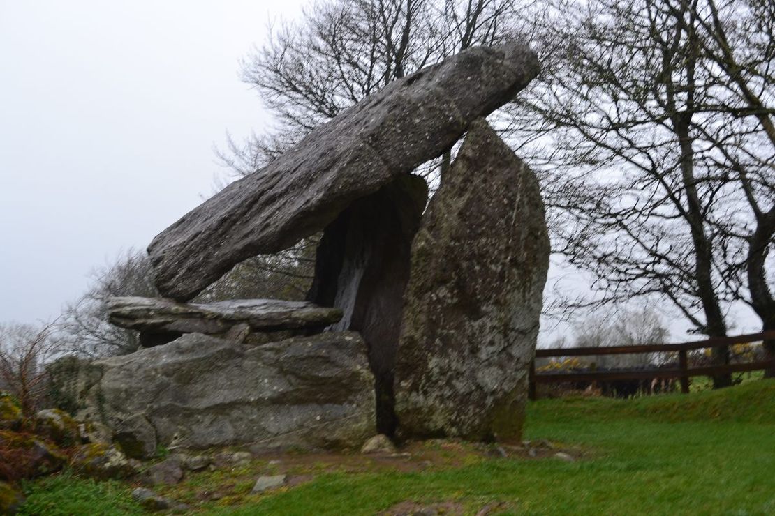 Bullaun stone in KilmoveeBullaun stone · 1.6 mi
Explorer Tom Bullaun stone in Kilmovee has a family tree that I mostly made up because the real one involves three different…
Ecclesiastical enclosure in KilmoveeEcclesiastical enclosure · 1.6 miExplorer Tom Kilmovee’s ecclesiastical enclosure got chopped by a field bank, which feels like getting your haircut without asking…
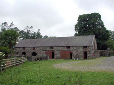 Newtown FarmOutbuilding · 1.8 mi
Explorer Tom Newtown Farm outbuilding in Newtown Ross has a curse that only affects people who don’t wave as they pass by. The…
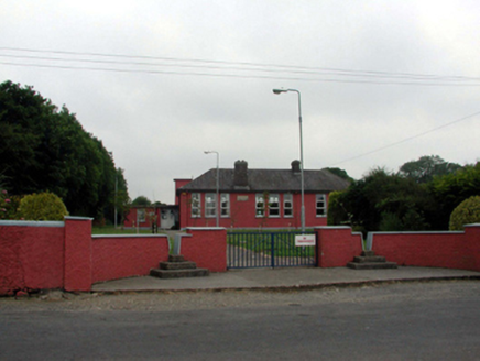 Newtown National SchoolSchool · 1.8 mi
Explorer Tom Newtown National School hears everything through its walls, including the teachers complaining about the heating and…
 Croughaun HillMountain / peak · 1.9 mi
Explorer Tom Croughaun Hill has been hiding a massive scandal involving a lost hat and a very confused shepherd for centuries. The…
 Clonea Power CastleCastle · 2.4 mi
Explorer Tom Clonea Power Castle in County Waterford had a prophecy saying it would become a nightclub, but it stuck with being a…
 CastleCastle, tower house · 2.4 mi
Explorer Tom Castle in Clonea has a fairy dispute over parking rights because it sits on rock outcrop between a hill and a river…
 John Mitchels GAA pitchGAA ground · 2.6 mi
More archaeology and monuments in County Waterford · All of County Waterford

What do you know about this place?Tap to add a comment or ask a question