What is recorded here
On S side of walled garden; no surface trace remains. According to local information, this was original location of St Crannat's well until the lady of the house (The Glen) objected to pilgrims visiting well and built walled garden around the site, after which, according to legend, it moved to present location c. 900m…
Read the whole record
From the National Monuments Service (Archaeological Survey of Ireland) record CO026-105002
Places near here
Photo credits
- Maker not stated on source page, www.churchservices.tv
- National Inventory of Architectural Heritage
- Maker not stated on source page, it.pinterest.com
- Maker not stated on source page, en.wikipedia.org
- Maker not stated on source page, www.youtube.com
- Maker not stated on source page, ie.polomap.com
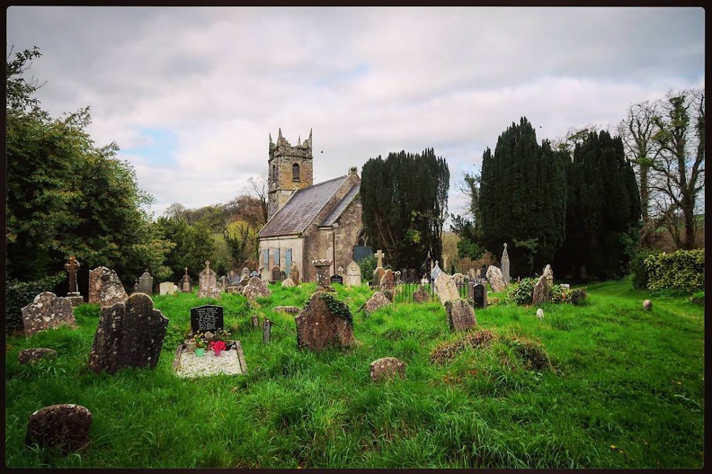
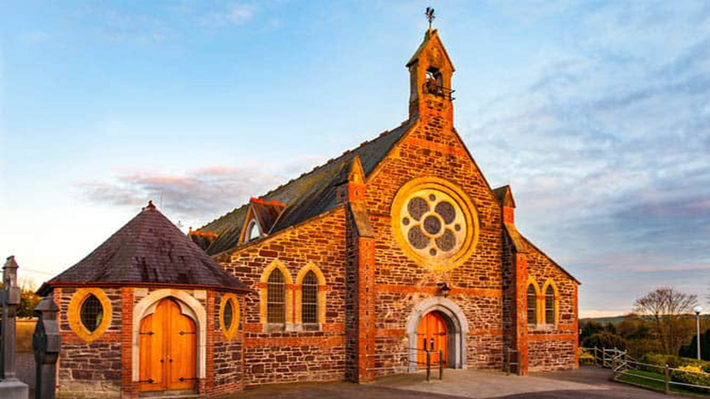 Church in KilluraghChurch · 8 yd
Explorer Tom Church in Killuragh is sitting on the south side of a walled garden, looking jealous that the gravel walk gets all the…
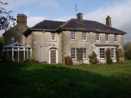 The GlenHouse · 47 yd
Explorer Tom The Glen in Killuragh had a fire in the 1950s and added a block, so now it’s got an asymmetry that screams ‘I’m…
 Ballygriffin BridgeBridge · 1348 yd
Explorer Tom Ballygriffin Bridge in Cork is skewing its arch like it’s judging your driving. It straddles an old railway line with…
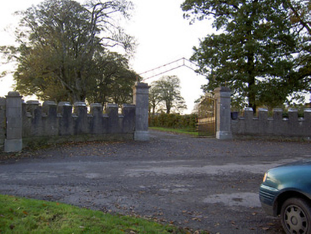 Castle KevinGates/railings/walls · 1658 yd
Explorer Tom Castle Kevin in Castlekevin is telling the place that replaced it its crenellated sweep walls are much more dignified…
 Fairy fort / earthen ringfort in CastlekevinFairy fort / earthen ringfort · 1.1 mi
Explorer Tom Fairy fort / earthen ringfort in Castlekevin is levelled out like a pancake that nobody wants to eat anymore. The…
 Doneraile ParkDemesne walls/gates/railings · 1.1 mi
Explorer Tom Doneraile Park gates are playing posh with all that cut limestone and scrollwork. They used to lead to a bridge over…
 farmyard complex1.2 mi
Explorer Tom Farmyard complex in Monanimy Lower used to serve a castle that burned down in 1939, so now it’s basically an orphan…
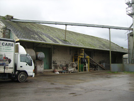 Power Seeds LtdStore/warehouse · 1.2 mi
Explorer Tom Store or warehouse in Monanimy Lower is where Power Seeds Ltd used to stash their wares before the trains stopped…
 Kilcanway BridgeBridge · 1.3 mi
Explorer Tom Kilcanway Bridge is straddling a dead railway line with that fancy limestone arch. Built c.1860, it’s got rock-faced…
 Killavullen GAA pitchGAA ground · 1.3 mi
 Enclosure in Annakisha SouthEnclosure · 1.3 mi
Explorer Tom This Annakisha South enclosure is basically a ghost, visible only as a cropmark on your phone, which feels deeply…
 Graveyard in Carrig DemesneGraveyard · 1.5 mi
Explorer Tom Graveyard in Carrig Demesne was described as a 'shrubbery', which is either a lie or a very aggressive landscaping…
More archaeology and monuments in County Cork · All of County Cork

What do you know about this place?Tap to add a comment or ask a question