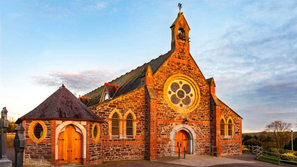
What is recorded here
From the National Monuments Service (Archaeological Survey of Ireland) record CO026-105004
Places near here
Photo credits
- National Inventory of Architectural Heritage
- Maker not stated on source page, it.pinterest.com
- Maker not stated on source page, en.wikipedia.org
- Maker not stated on source page, www.youtube.com
- Maker not stated on source page, ie.polomap.com
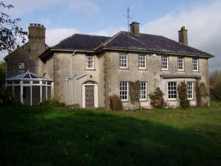 The GlenHouse · 44 yd
Explorer Tom The Glen in Killuragh had a fire in the 1950s and added a block, so now it’s got an asymmetry that screams ‘I’m…
 Ballygriffin BridgeBridge · 1342 yd
Explorer Tom Ballygriffin Bridge in Cork is skewing its arch like it’s judging your driving. It straddles an old railway line with…
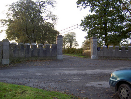 Castle KevinGates/railings/walls · 1660 yd
Explorer Tom Castle Kevin in Castlekevin is telling the place that replaced it its crenellated sweep walls are much more dignified…
 Fairy fort / earthen ringfort in CastlekevinFairy fort / earthen ringfort · 1.1 mi
Explorer Tom Fairy fort / earthen ringfort in Castlekevin is levelled out like a pancake that nobody wants to eat anymore. The…
 Doneraile ParkDemesne walls/gates/railings · 1.1 mi
Explorer Tom Doneraile Park gates are playing posh with all that cut limestone and scrollwork. They used to lead to a bridge over…
 farmyard complex1.2 mi
Explorer Tom Farmyard complex in Monanimy Lower used to serve a castle that burned down in 1939, so now it’s basically an orphan…
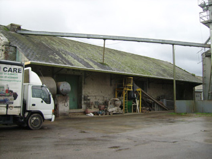 Power Seeds LtdStore/warehouse · 1.2 mi
Explorer Tom Store or warehouse in Monanimy Lower is where Power Seeds Ltd used to stash their wares before the trains stopped…
 Kilcanway BridgeBridge · 1.3 mi
Explorer Tom Kilcanway Bridge is straddling a dead railway line with that fancy limestone arch. Built c.1860, it’s got rock-faced…
 Killavullen GAA pitchGAA ground · 1.3 mi
 Enclosure in Annakisha SouthEnclosure · 1.4 mi
Explorer Tom This Annakisha South enclosure is basically a ghost, visible only as a cropmark on your phone, which feels deeply…
 Carrig ViaductViaduct · 1.4 mi
Explorer Tom Carrig Viaduct is showing off its six limestone arches over the Carrig River. Built in 1860 for trains that stopped…
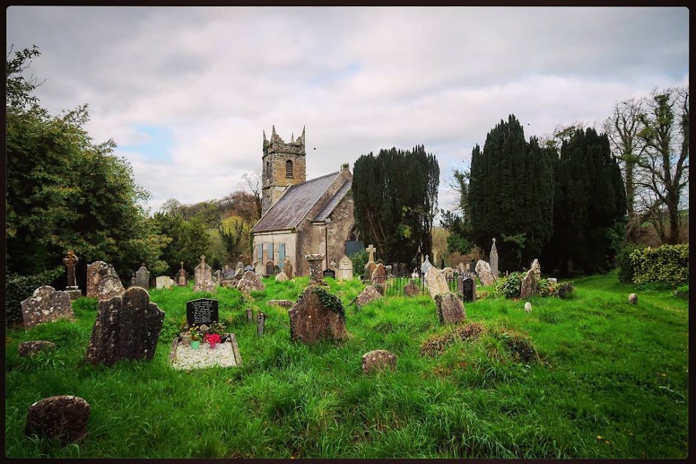 Graveyard in Carrig DemesneGraveyard · 1.5 mi
Explorer Tom Graveyard in Carrig Demesne was described as a 'shrubbery', which is either a lie or a very aggressive landscaping…
More historic places in County Cork · All of County Cork

What do you know about this place?Tap to add a comment or ask a question