What is recorded here
A castle at Garclonne (41b) in Moylagh parish is not depicted on the Down Survey (1656-8) barony map of Fore but is on the parish map (http://downsurvey.tcd.ie/). According to the Civil Survey (1654-6) Richard Plunkett of Loughcrew owned almost 120 acres there in 1640 including ‘one castle in indifferent good repair’ and seven cabins (Simington 1940, 266). It is depicted amongst a cluster of buildings on the 1836 ed. of the OS 6-inch map where it is described in gothic lettering as Green Castle. It is depicted as a shell (dims c. 8m N-S; c. 5m E-W) on the OS 25-inch map. Situated in a gently undulating landscape, there are no visible remains, and it is now occupied by a modern house. Archaeological testing (99E0732) by M. Byrne at the location ahead of the construction of the house produced no archaeological material (Byrne 1999; excavations.ie 1999:688).
A castle at Garclonne (41b) in Moylagh parish is not depicted on the Down Survey (1656-8) barony map of Fore but is on the parish map (http://downsurvey.tcd.ie/). According to the Civil Survey (1654-6) Richard Plunkett of Loughcrew owned almost 120 acres there in 1640 including ‘one castle in indifferent good repair’ and seven cabins (Simington 1940, 266). It is depicted amongst a cluster of buildings on the 1836…
From the National Monuments Service (Archaeological Survey of Ireland) record ME015-068
This remains an important historical record, but the official description says the monument is no longer visible or has been destroyed. The monument record does not grant public access. Check the route and ask the landowner before entering private land.
- What survives
- No visible remains or recorded as destroyed
Places near here
Photo credits
- National Inventory of Architectural Heritage
- Mike Searle, Geograph · CC BY-SA 2.0
- Sitomon, Wikimedia Commons · CC BY-SA 2.0
- Alvesgaspar, Wikimedia Commons · CC BY-SA 3.0
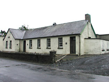 Gortloney National SchoolSchool · 50 yd
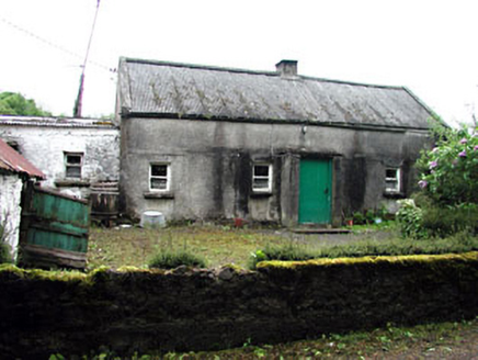 farm house742 ydFairy fort / earthen ringfort in LoughcrewFairy fort / earthen ringfort · 1742 ydSlieve GullionMountain / peak · 1.1 miSeafin HillMountain / peak · 1.2 miSeefinFairy fort / earthen ringfort · 1.2 miMoat CastleCastle, unclassified · 1.2 miZip WireHeritage attraction · 1.6 miZip WireHeritage attraction · 1.6 mi
 MoatCastle, motte · 1.6 mi
 European Yew1.6 mi
 Common Lime1.6 mi
More castles and forts in County Meath · All of County Meath
What do you know about this place?