What is recorded here
Situated at the summit of Seefin Hill, it is not depicted on any OS map. This is a slightly raised circular and grass-covered area (diam. 39m E-W; 36m N-S) defined by slight earthen bank (at NW: Wth of base 7m; Wth of top 2m; int. H 0.25m; ext. H 0.5m) largely reduced to a scarp (at SW: Wth 3.6m; H 0.6m). There is no visible fosse or identifiable original entrance.
From the National Monuments Service (Archaeological Survey of Ireland) record ME015-075
The monument record does not grant public access. Check the route and ask the landowner before entering private land.
- What survives
- Recorded monument
Places near here
Photo credits
- National Inventory of Architectural Heritage
- Malene Thyssen, Wikimedia Commons · CC BY-SA 3.0
- Oliver Dixon, Wikimedia Commons · CC BY-SA 2.0
- Mike Searle, Geograph · CC BY-SA 2.0
- Sitomon, Wikimedia Commons · CC BY-SA 2.0
- John M, Wikimedia Commons · CC BY-SA 2.0
- Bill Griffiths, Wikimedia Commons · CC BY-SA 2.0
- Haydn Hammerton, Wikimedia Commons · CC BY-SA 4.0
- James Fergusson, after E. Conwell, Wikimedia Commons · Public domain
- Bob Embleton, Geograph · CC BY-SA 2.0
- Colin Park, Geograph · CC BY-SA 2.0
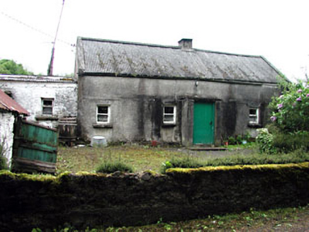 farm house1557 yd
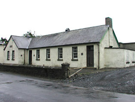 Gortloney National SchoolSchool · 1.2 mi
 European Beech1.6 mi
 Ben of ForeMountain / peak · 1.9 mi
 MoatCastle, motte · 2.6 mi
 European Yew2.7 mi
 LoughcrewMegalithic tomb cemetery · 3.5 mi
 Slieve Na CalliaghMountain / peak · 4.0 mi
 Loughcrew Megalithic TombsHeritage attraction · 4.0 mi
 Hag's ChairArchaeological place · 4.1 mi
 Earthen TumulusCastle, motte · 4.9 mi
 Mullaghmeen Red WalkWalking route · 5.8 mi
More archaeology and monuments in County Meath · All of County Meath
What do you know about this place?