What is recorded here
In SW quadrant of large sub-oval enclosure (CO054-057001-), rectangular area (17m N-S; 14m E-W) enclosed by sod-covered foundations of stone wall. Entrance to N (Wth 0.7m) formed by stone slabs (1 to W; 2 to E); according to Franklin (1897, 383) 'these were once removed by a former tenant' but subsequently replaced. Inside line of wall to E is heap of rubble (H c. 1m). Interior level; in pasture; no trace of gravemarkers. According to Franklin (ibid.) 'this is an ancient graveyard'. May be part of early ecclesiastical site associated with St. Lasser.
In SW quadrant of large sub-oval enclosure (CO054-057001-), rectangular area (17m N-S; 14m E-W) enclosed by sod-covered foundations of stone wall. Entrance to N (Wth 0.7m) formed by stone slabs (1 to W; 2 to E); according to Franklin (1897, 383) 'these were once removed by a former tenant' but subsequently replaced. Inside line of wall to E is heap of rubble (H c. 1m). Interior level; in pasture; no trace of…
From the National Monuments Service (Archaeological Survey of Ireland) record CO054-057002
The monument record does not grant public access. Check the route and ask the landowner before entering private land.
- What survives
- Recorded monument
Places near here
Photo credits
- National Inventory of Architectural Heritage
- Jonathan Thacker, Geograph · Creative Commons Attribution-ShareAlike 2.0
- Jonathan Thacker, Geograph · CC BY-SA 2.0
- Mike Searle, Wikimedia Commons · CC BY-SA 2.0
- Mike Searle, Geograph · CC BY-SA 2.0
 Historic buildingOfficially recorded historic building · 1.6 mi
 Graveyard1.8 mi
 St Bridgets WellHoly well · 1.9 mi
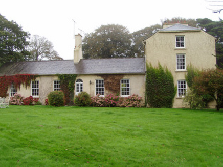 Newtown LodgeHouse · 2.0 mi
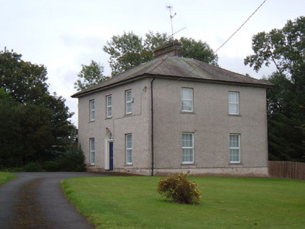 The PresbyteryRectory/glebe/vicarage/curate's house · 2.2 mi
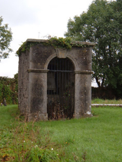 mausoleum2.2 mi
 Church HouseChurch/chapel · 2.2 mi
 Graveyard2.2 mi
 Aghern CastleCastle · 3.7 mi
_-_geograph.org.uk_-_1392985.jpg/250px-Castles_of_Munster,_Conna,_Cork_(2)_-_geograph.org.uk_-_1392985.jpg "Photo: Mike Searle, Wikimedia Commons · CC BY-SA 2.0") Conna CastleCastle · 4.2 mi
Conna CastleCastle · 4.2 mi Coole WellVisitor information · 5.8 mi
 Old Railway ViaductViewpoint · 9.1 mi
More memorials and graveyards in County Cork · All of County Cork
What do you know about this place?