
What is recorded here
On W side of crossroads; small, trapezoidal graveyard (c. 50m; c. 40m N-S) shown on 1842 OS 6-inch map, extended to W in stages, as shown on 1901 and 1935 OS 6-inch maps, to long, narrow rectangular graveyard (c. 150m E-W; c. 40m N-S); recent extension across road to S. Numerous 18th and 19th century headstones, earliest noted dated 1705, around ruins of Rathcooney parish church (CO063-087002-).
From the National Monuments Service (Archaeological Survey of Ireland) record CO063-087001
The monument record does not grant public access. Check the route and ask the landowner before entering private land.
- What survives
- Recorded monument
Places near here
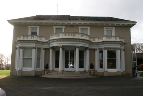 LauristonCountry house · 1137 yd
 Lauriston LodgeGate lodge · 1392 yd
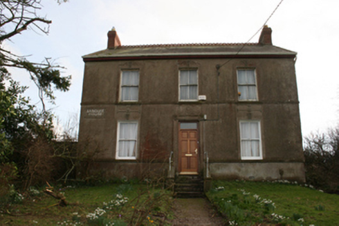 Banduff HouseHouse · 1617 yd
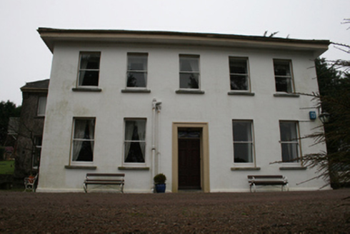 Barnavara HouseCountry house, gate lodge · 1745 yd
 Glenkeen LodgeGate lodge · 1.1 mi
 Glenkeen HouseCountry house · 1.1 mi
 The CottageWorker's house · 1.1 mi
 Thomas Kent StationMemorial · 2.5 mi
 Ladys WellHoly well · 2.7 mi
 Tourist OfficeVisitor information · 2.8 mi
 Father MatthewMonument · 2.9 mi
 Lavitts QuayMemorial · 2.9 mi
Pictures: National Inventory of Architectural Heritage; Jonjobaker, Wikimedia Commons · CC BY-SA 4.0; Michael O'Sheil, Wikimedia Commons · CC BY-SA 4.0; Kenneth Allen, Geograph · CC BY-SA 2.0; P L Chadwick, Wikimedia Commons · CC BY-SA 2.0
More archaeology and monuments in County Cork · All of County Cork
What do you know about this place?