What is recorded here
From the National Monuments Service (Archaeological Survey of Ireland) record CO051-106001
Places near here
Photo credits
- Maker not stated on source page, veri-art.net
- Maker not stated on source page, readymap.irish
- Jim Coughlan / EchoLive, www.echolive.ie
- National Inventory of Architectural Heritage
- Jonathan Thacker, Geograph · Creative Commons Attribution-ShareAlike 2.0
- Maker not stated on source page, pixels.com
- Maker not stated on source page, www.alamy.com
- Maker not stated on source page, www.dreamstime.com
- Maker not stated on source page, www.youtube.com
 Church (in Ruins)Church · 14 yd
Explorer Tom Grenagh North Church has an ivy-clad gable that looks like it's trying to hug the wall tighter. There's a window…
 Saint Lachteen's CemeteryCemetery · 50 yd
Explorer Tom Saint Lachteen's Cemetery is deeply suspicious of the postman because he keeps dropping letters that nobody seems to…
 Grenagh GAA pitchGAA ground · 299 yd
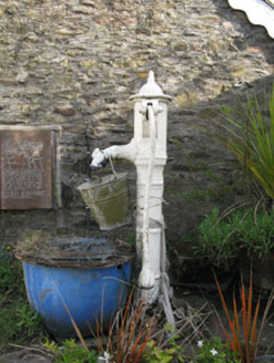 water pump457 yd
Explorer Tom Water pump in Grenagh South would review you like a picky food critic. '3/5 stars, handle was slippery, water was…
 St Laghteen's Roman Catholic ChurchChurch/chapel · 466 yd
Explorer Tom St Laghteen's Roman Catholic Church is plain on the outside but hiding a fancy reredos inside like it’s got a secret…
 Fairy fort / earthen ringfort in Grenagh SouthFairy fort / earthen ringfort · 642 yd
Explorer Tom This ringfort in Grenagh South has a massive bank, over two and a half metres high! It’s got an external fosse too…
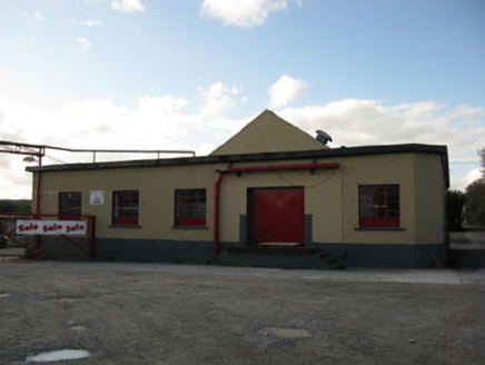 Rathduff CreameryCreamery · 1215 yd
Explorer Tom Rathduff Creamery in Rathduff is hiding its cream under a concrete apron. Built around 1920, it looks like a sturdy box…
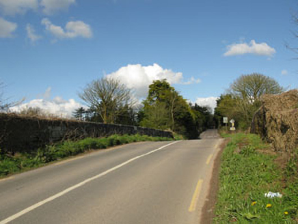 bridge1524 yd
Explorer Tom Bridge in Rathduff is humpbacked and carries roads over the railway line from 1845. It’s got tooled limestone…
 Rathduff Railway StationStore/warehouse · 1551 yd
Explorer Tom Rathduff Railway Station goods shed is sitting there all rusty and corrugated, remembering its industrial past. Built…
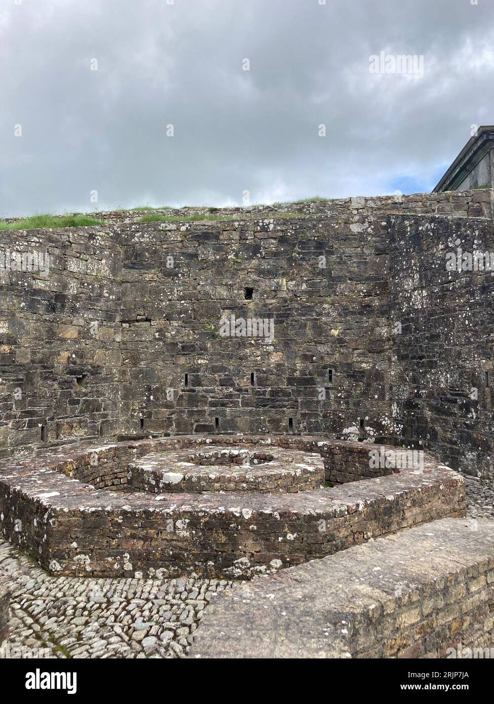 Fairy fort / earthen ringfort in Ballyvaloon (barretts By.)Fairy fort / earthen ringfort · 1701 yd
Explorer Tom Fairy fort / earthen ringfort in Ballyvaloon is in tillage, so it’s getting ploughed by farmers. Aerial photos show…
 Fairy fort / earthen ringfort in LissavouraFairy fort / earthen ringfort · 1.0 mi
Explorer Tom Fairy fort / earthen ringfort in Lissavoura was flattened when they built the railway, which is how you lose a fort to…
 Daviss CastleCastle, Anglo-Norman masonry castle · 1.1 mi
Explorer Tom Daviss Castle in Ballymorisheen is actually a two-storey house with modern windows and a pyramidal roof. It has…
More archaeology and monuments in County Cork · All of County Cork

What do you know about this place?Tap to add a comment or ask a question