
What is recorded here
From the National Monuments Service (Archaeological Survey of Ireland) record ME050-021004
Places near here
Photo credits
- Maker not stated on source page, commons.wikimedia.org
- National Inventory of Architectural Heritage
- Maker not stated on source page, www.europeanheritageawards.eu
- Maker not stated on source page, www.wegow.com
- Maker not stated on source page, uk.pinterest.com
- Maker not stated on source page, en.wikipedia.org
- Kmcnamee, Wikimedia Commons · CC BY-SA 4.0
 St. Peters ChurchChurch · 14 yd
Explorer Tom St. Peters Church at Dunboyne was the subject of a terrible poem about yellow rivers and bad hair. Nobody remembers who…
 Saint Peter's Church (Dunboyne)Mausoleum · 30 yd
Explorer Tom Saint Peter's Church (Dunboyne) is actually a mausoleum that thinks it’s a shortcut through the afterlife. The Hamilton…
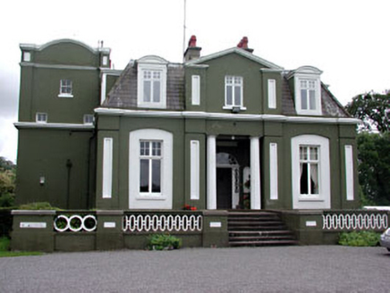 CourthillCountry house · 153 yd
Explorer Tom Courthill House is a mashup of 1830 and 1900 architecture, like wearing a top hat with sneakers. It’s got Doric columns…
 Dunboyne CastleDemesne walls/gates/railings · 192 yd
Explorer Tom Dunboyne Castle entrance is making a bit of a scene on Maynooth Road with its channelled ashlar piers. It forms part of…
 CastleCastle, tower house · 241 yd
Explorer Tom Castle in Castlefarm has a long list of former names, mostly just variations of 'Big Stone Box'. William le Petit…
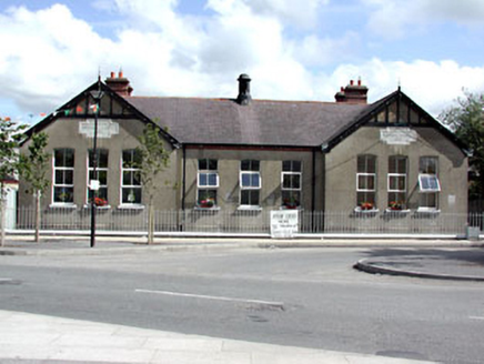 Dunboyne National SchoolSchool · 249 yd
Explorer Tom Dunboyne National School is a building with gabled breakfronts that looks like it’s trying to impress you with its…
 W. BradyHouse · 250 yd
Explorer Tom W. Brady house in Dunboyne hosted a dance that went right over the top. Horses were involved, or maybe that was just…
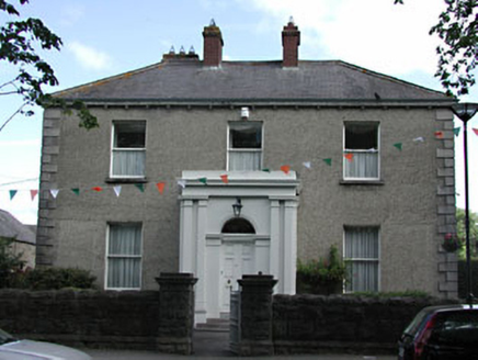 presbytery/parochial/curate's house284 yd
Explorer Tom Presbytery in Dunboyne, County Meath caused a huge argument when the whole parish disagreed on who should live there…
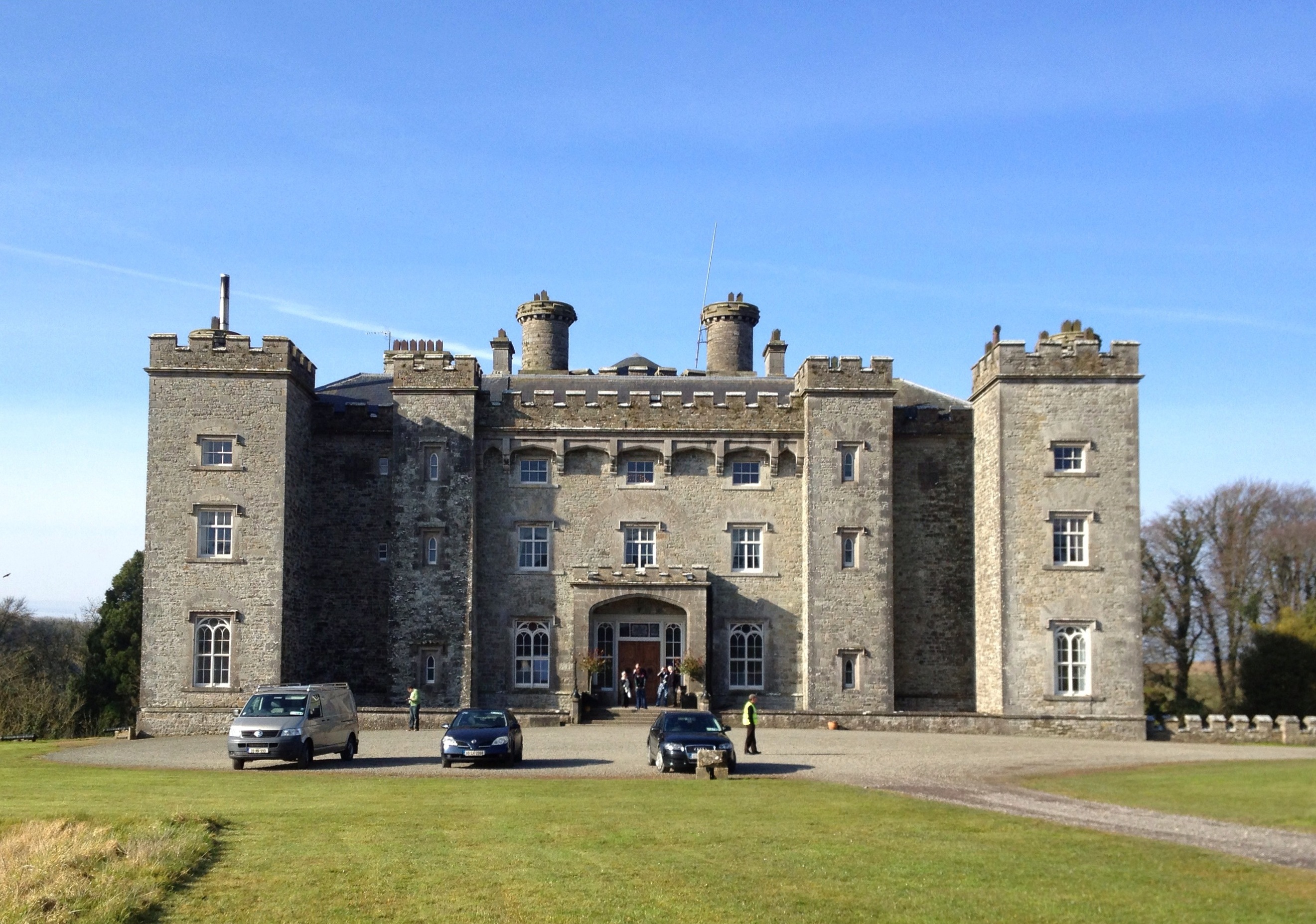 Well in CastlefarmWell · 1008 yd
Explorer Tom Well in Castlefarm is sitting on a ridge near the Dunboyne link road, probably dreaming of a hidden tunnel that leads…
 St. Peter's GAA, DunboyneGAA ground · 1068 yd
 EnclosureEnclosure, large enclosure · 1089 yd
Explorer Tom Enclosure in Dunboyne is a large D-shaped ring that looks like it was designed by a mother-in-law who wanted to keep…
 St. Paul's GAA pitchGAA ground · 1746 yd
More archaeology and monuments in County Meath · All of County Meath

What do you know about this place?Tap to add a comment or ask a question