DDiscover AloneMapAbout

Well in Castlefarm

Well
Well in Castlefarm
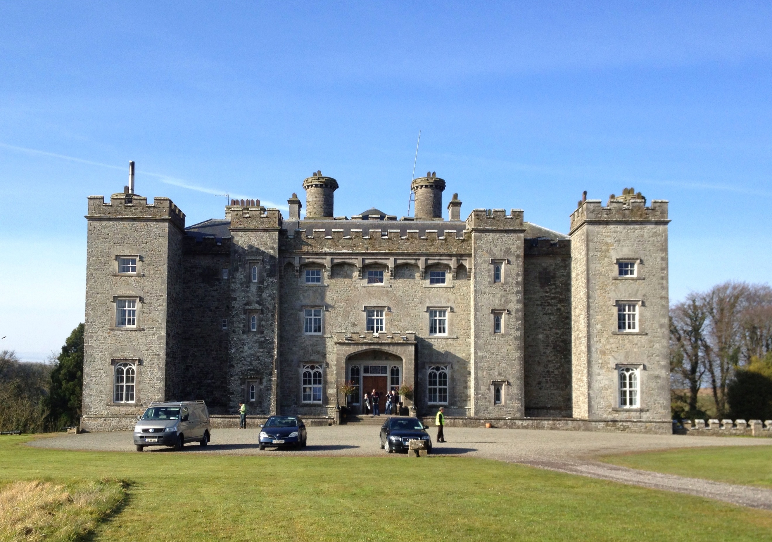
Representative picture, exact place not confirmed
Photo: Maker not stated on source page, www.wegow.com · Report the wrong picture

The monument record does not grant public access. Check the route and ask the landowner before entering private land.

What do you know about this place?Tap to add a comment or ask a question

What you write will be public.

What is recorded here

Situated on a low E-W ridge. Centre-line testing (04E0485) by R. O’Hara (2004) of two fields in Testing area 1 of the Dunboyne link road (R157) to the M3 (excavations.ie 2004:1198) confirmed the presence of archaeological features where magnetic susceptibility and gradiometer surveys (06R0038) by J. Nicholls (2006)…

Read the whole record
Situated on a low E-W ridge. Centre-line testing (04E0485) by R. O’Hara (2004) of two fields in Testing area 1 of the Dunboyne link road (R157) to the M3 (excavations.ie 2004:1198) confirmed the presence of archaeological features where magnetic susceptibility and gradiometer surveys (06R0038) by J. Nicholls (2006) had already identified numerous anomalies. The area within the road-take was completely excavated (E003023) by A. O’Connell (O’Connell and Clark 2009) who uncovered a complex of monuments dating from at least the Early Bronze Age up to the high medieval period (excavations.ie: 2005: AD5; 2006:1525). The monument consists of a large bivallate enclosure with a small D-shaped annexe (ME050-048005-) attached to the S of the outer fosse at SW. Ten wells or water-holes are located between the inner and outer fosses of the large enclosure in the W-N area. Water-hole 1 is a circular pit (diam. 3m; max. D 2.28m) with straight sides and a flat base that draws water, and it happens to be situated between the inner and outer fosses of the large enclosure. Three layers with a large silt content filled the bottom two thirds of the pit. No artefacts were recovered but charcoal from the second lowest fill produced a C14 date of 2131-1886 cal. BC. Its upper fills contained some burnt stone, and an adjacent pit (diam. 1.5-1.75m; max. D 0.68m) with similar material may be the trough and the last remnant of a fulacht fia. (O’Connell and Clark 2009, 4-5) The remaining water-holes are medieval in date and are located in the W-N area between the inner and outer fosses of the large enclosure. No. 9 (dims 1.8m x 1.7m; D 0.54m) with a C14 date of 668-870 cal. AD was truncated by the fosse of the outer enclosure that was dug right over it. The water-holes generally produce radiocarbon dates between the end of the seventh century and the end of the ninth century AD. They are normally circular to oval (dims 2.95m x 2.2m; D 1.7m: to 4.64m x 4.1m; D 2.21m) in form, are usually water-logged at the bottom, and above the basal silt their fill will include some redeposited boulder clay slumped from the sides and other dumped material. Three of the water-holes have single steps of unexcavated boulder clay at one side of the funnel-shaped pits. As the basal deposits are waterlogged they preserve wooden and leather artefacts and also provide copious environmental samples. No. 4 is perhaps the largest (dims 4.7m E-W; 2.7m N-S; max. D 2.35m) with a step (D below top 1.05m) at its W point. This well is also unique in having four large post-holes straddling its mouth that may have formed a superstructure to assist in raising heavy water-filled vessels. Water-hole 8 (dims 4.2m x 3m; D 1.56m) was just outside the line of the outer enclosure at W and produced the earliest medieval radiocarbon date amongst the wells of 400-570 cal. AD. It may be contemporary with the establishment of the inner fosse of the large enclosure in Phase 2. (O'Connell 2009; O’Connell and Clark 2009, 23-29) See the attached images: _1 Post-excavation plan of the large enclosure from O'Connell and Clark (2009, fig. 63) _2 Plan of the water-holes from O'Connell and Clark (2009, fig. 21) Compiled by: Michael Moore Date of upload: 5 November 2021 O’Connell, A. 2009 Excavations at Castlefarm: director’s first findings. In Deevy, M. and Donald Murphy 2009 Places Along the Way, 43-56. NRA Scheme Monographs: 5. O’Connell, A. & Clark, A. 2009 M3 Clonee – North of Kells. Contract 1 Clonee – Dunshaughlin. Final report on the Archaeological Excavation of Castlefarm 1, Co. Meath. Licence: E003023. Unpublished report, Archaeological Consultancy Services O’Hara, R. 2004 M3 Clonee- North of Kells. Contract 1 Clonee-Dunshaughlin. Archaeological Assessment at Testing Area 1, Castlefarm, County Meath. Licence: 04E0485. Unpublished report, Archaeological Consultancy Services

From the National Monuments Service (Archaeological Survey of Ireland) record ME050-048002

Places near here

Photo credits
  • National Inventory of Architectural Heritage
  • Maker not stated on source page, commons.wikimedia.org
  • Maker not stated on source page, www.europeanheritageawards.eu
  • Maker not stated on source page, uk.pinterest.com
  • Maker not stated on source page, en.wikipedia.org
  • Maker not stated on source page, fi.pinterest.com
  • Maker not stated on source page, www.pinterest.com
Dunboyne CastleDemesne walls/gates/railings · 899 yd

Explorer Tom Dunboyne Castle entrance is making a bit of a scene on Maynooth Road with its channelled ashlar piers. It forms part of…
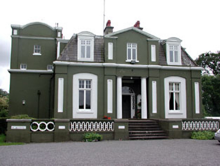
CourthillCountry house · 925 yd

Explorer Tom Courthill House is a mashup of 1830 and 1900 architecture, like wearing a top hat with sneakers. It’s got Doric columns…

Saint Peter's Church (Dunboyne)Mausoleum · 986 yd

Explorer Tom Saint Peter's Church (Dunboyne) is actually a mausoleum that thinks it’s a shortcut through the afterlife. The Hamilton…

St. Peters ChurchChurch · 1010 yd

Explorer Tom St. Peters Church at Dunboyne was the subject of a terrible poem about yellow rivers and bad hair. Nobody remembers who…

CastleCastle, tower house · 1038 yd

Explorer Tom Castle in Castlefarm has a long list of former names, mostly just variations of 'Big Stone Box'. William le Petit…

W. BradyHouse · 1244 yd

Explorer Tom W. Brady house in Dunboyne hosted a dance that went right over the top. Horses were involved, or maybe that was just…
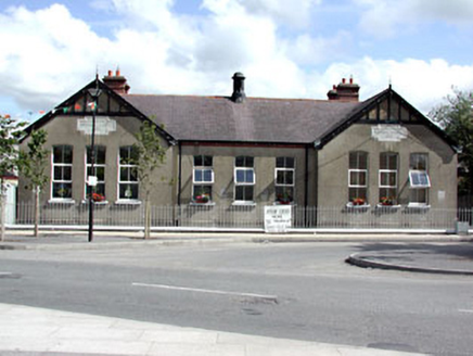
Dunboyne National SchoolSchool · 1256 yd

Explorer Tom Dunboyne National School is a building with gabled breakfronts that looks like it’s trying to impress you with its…
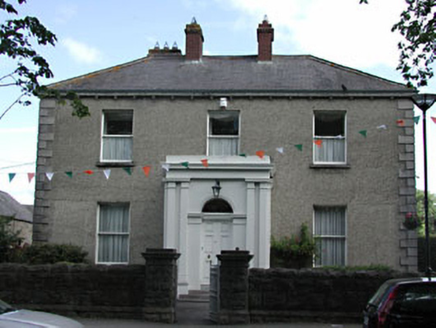
presbytery/parochial/curate's house1291 yd

Explorer Tom Presbytery in Dunboyne, County Meath caused a huge argument when the whole parish disagreed on who should live there…

St. Peter's GAA, DunboyneGAA ground · 1359 ydEnclosureEnclosure, large enclosure · 1755 yd

Explorer Tom Enclosure in Dunboyne is a large D-shaped ring that looks like it was designed by a mother-in-law who wanted to keep…

Rooske CemeteryCemetery · 1.2 mi

Explorer Tom Rooske Cemetery in County Meath loves bragging about the one storm it survived back when everyone thought it was done…

Holy well in LoughsallaghHoly well · 1.6 mi

Explorer Tom Loughsallagh’s well sits in a graveyard and handles nosey neighbours by simply ignoring them for two centuries. It’s a…

More archaeology and monuments in County Meath · All of County Meath

Add to this placeAdd a picture Add a detailed tip Add a story

Explore the map1,095,414 places to discover

Next place · or swipeDunboyne Castle