
What is recorded here
Situated at the W edge of a slight W-facing slope, at the point where the slope increases. The parish church of Ambrosetown (WX046-018001-) is within a subcircular graveyard (dims c. 35m E-W; c. 34m N-S) defined by an earthen bank with an outer masonry wall, although the perimeter at W has been robbed by a quarry. A report of a rectangular granite font within the church (Moore 1996, 119) is erroneous, the result of confusion with other churches. The site of St Ambrose's Well (WX046-018002-) is c. 30m to the NW, in an area that has been quarried.
From the National Monuments Service (Archaeological Survey of Ireland) record WX046-018003
Places near here
Photo credits
- National Inventory of Architectural Heritage
- Pam Brophy, Wikimedia Commons · CC BY-SA 2.0
- Andreas F. Borchert, Wikimedia Commons · CC BY-SA 4.0
- Mike Searle, Geograph · CC BY-SA 2.0
- Oliver Dixon, Geograph · CC BY-SA 2.0
- kevin higgins, Geograph · CC BY-SA 2.0
- kevin higgins, Wikimedia Commons · CC BY-SA 2.0
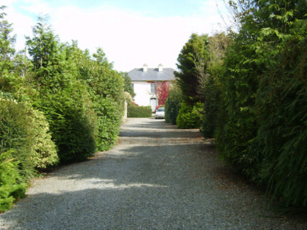 farm house187 yd
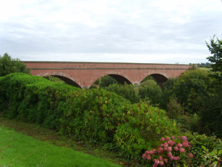 bridge1025 yd
 Coolhull CastleHouse, fortified house · 1.9 mi
 Font in BallyconnickFont · 2.2 mi
 CastleHouse, fortified house · 2.5 miCarrig-On-BannowVisitor information · 2.8 mi
 Windmill2.9 mi
 Cullenstown StrandBeach / strand · 3.2 mi
 Cull IslandIsland · 3.2 mi
 Ballyteigue BurrowNature reserve · 3.8 mi
 Blackhall StrandBeach / strand · 4.3 mi
 Keeragh IslandsIsland · 4.7 mi
More archaeology and monuments in County Wexford · All of County Wexford

What do you know about this place?Tap to add a comment or ask a question