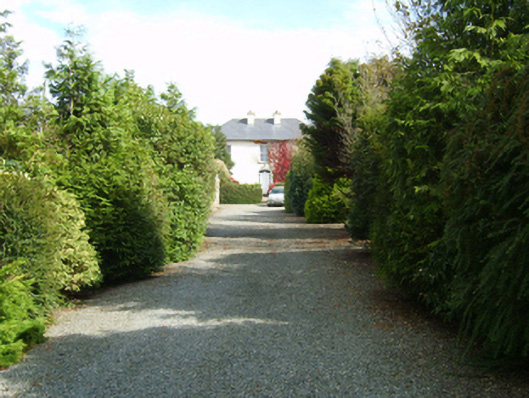
What is recorded here
Detached three-bay two-storey farmhouse, extant 1902, on a rectangular plan with single-bay two-storey side elevations. Reroofed, ----. For sale, 2007. Replacement hipped artificial slate roof with ridge tiles, paired rendered central chimney stacks having corbelled stepped capping supporting terracotta or yellow terracotta tapered pots, and uPVC rainwater goods on box eaves. Part creeper- or ivy-covered rendered walls. Segmental-headed central door opening approached by flight of three moss-covered steps with concealed dressings having splayed reveals framing replacement uPVC panelled door having sidelights below fanlight. Square-headed window openings with cut-granite sills, and concealed dressings framing two-over-two timber sash windows. Set in landscaped grounds with rendered cylindrical piers to perimeter having shallow conical capping supporting barley twist-detailed flat iron "farm gate".
A farmhouse representing an integral component of the domestic built heritage of south County Wexford with the architectural value of the composition, one succeeding an earlier house labelled as tenanted by 'Joseph Purcell Senr.' on the map titled "Ambrosetown" from the "Survey of THE ESTATE OF Anthony Cliffe Esquire in the COUNTIES of WEXFORD Cork Kilkenny and MEATH" (1822) by Sherrard's Brassington and Greene, suggested by such attributes as the compact rectilinear plan form centred on a restrained doorcase; and the uniform or near-uniform proportions of the openings on each floor. Having been well maintained, the elementary form and massing survive intact together with substantial quantities of the original fabric, thus upholding the character or integrity of a farmhouse making a pleasing visual statement in a rural street scene.
This does not grant access. Most recorded buildings are privately owned; view them only from public ground unless the owner allows entry.
Places near here
 St. Ambroses WellHoly well · 182 yd
 St. Margarets WellHoly well · 476 yd
 bridgebridge · 1103 yd
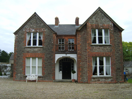 Bellgrove Villafarm house · 1450 yd
 Embanked enclosureCastle, motte and bailey · 1.6 mi
 Castle (in ruins)Castle, tower house · 1.6 mi
 Carrig-On-BannowVisitor information · 2.9 mi
 1798 MemorialMemorial · 3.0 mi
 Cull IslandIsland · 3.3 mi
 Cullenstown StrandBeach / strand · 3.3 mi
 Ballyteigue BurrowNature reserve · 3.9 mi
 Ballymadder PointHeadland · 4.1 mi
Other information
Photo: National Inventory of Architectural Heritage · Website use allowed for educational or private purposes with source credit