What is recorded here
Located on a gentle SW-facing slope. The cropmark of an oval enclosure (dims c. 55m E-W; c. 45m N-S) defined by a single slight fosse or ditch that appears to be absent SE-SW is visible only on Google Earth (26/04/2021). It was first reported by Jean Charles Caillére.
See the attached enhanced view from Google Earth (26/04/2021)
Compiled by: Michael Moore
Date of upload: 18 May 2022
The monument record does not grant public access. Check the route and ask the landowner before entering private land.
- What survives
- Recorded monument
Places near here
 St. Ambroses WellHoly well · 1265 yd
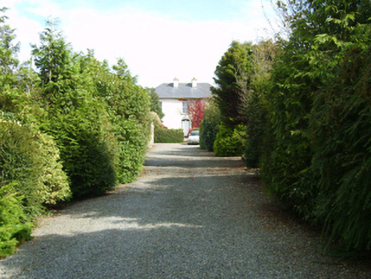 farm housefarm house · 1329 yd
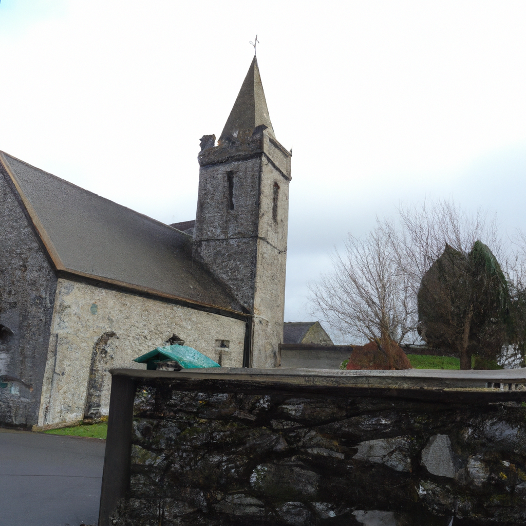 Church in TullycannaChurch · 1441 yd
 St. Margarets WellHoly well · 1759 yd
 Castle (in ruins)Castle, tower house · 1.5 mi
 CastleHouse, fortified house · 1.8 mi
 Carrig-On-BannowVisitor information · 2.7 mi
 1798 MemorialMemorial · 2.7 mi
 Cullenstown StrandBeach / strand · 3.4 mi
 Coolcliffe HouseRuins · 3.5 mi
 Cull IslandIsland · 3.9 mi
 Ballymadder PointHeadland · 4.1 mi