What is recorded here
Located on a slight rise in a gently rolling, low-lying landscape, with a small S-N stream curving around the monument S-W c. 35m distant and joining a larger NW-SE stream c. 200m to the N. The rath of Goblistown is a point on the boundary of Ambrosetown parish as recorded in the Civil Survey (1654-6) (Simington 1953, 141). This is a slightly raised, oval and grass-covered area (dims c. 45m N-S; c. 35m E-W) defined by an earthen bank (Wth 6-6.5m; int. H 0.5 1m; ext. H 2.1m) with some bushes and an external fosse (Wth of base c. 3.5m; D 0.5-0.8m). The entrance (Wth 5.2m) and causeway (Wth 6.5m) are at ESE but have probably been widened (max. ext. dims 59m N-S; 51m E-W), and there is a counterscarp bank NE S that runs across the entrance.
The above description is derived from the published 'Archaeological Inventory of County Wexford' (Dublin: Stationery Office, 1996). In certain instances the entries have been revised and updated in the light of recent research.
Compiled by: Michael Moore
Date of upload/revision: 19 August, 2013
The monument record does not grant public access. Check the route and ask the landowner before entering private land.
- What survives
- Recorded monument
Places near here
 St. Ambroses WellHoly well · 1325 yd
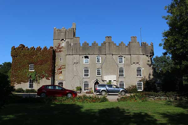 Not idnicatedKiln · 1427 yd
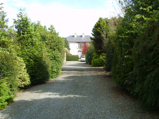 farm housefarm house · 1453 yd
 St. Margarets WellHoly well · 1.1 mi
 Coolhull CastleHouse, fortified house · 1.7 mi
 CastleHouse, fortified house · 1.9 mi
 Carrig-On-BannowVisitor information · 2.3 mi
 1798 MemorialMemorial · 2.4 mi
 Cullenstown StrandBeach / strand · 3.1 mi
 Coolcliffe HouseRuins · 3.5 mi
 Ballymadder PointHeadland · 3.8 mi
 Cull IslandIsland · 3.8 mi