What is recorded here
On a low, narrow N-S ridge bordering the E bank of the River Barrow. A trapeziodal shaped area (dims. L c. 70m NW-SE; Wth at NW c. 50m; Wth at SE c. 25m) enclosed by a poorly preserved stone wall. Legible gravestones date from the nineteenth and twentieth centuries. The interior contains a church (KD035-003001-), a holy well (KD035-003002-) and a holy tree (KD035-003004-).
Compiled by: Gearóid Conroy
Date of upload: 27 November 2013
The monument record does not grant public access. Check the route and ask the landowner before entering private land.
- What survives
- Recorded monument
Places near here
 Enclosure in TyrrellstownEnclosure · 134 yd
 Enclosure in Milltown (athy Rural Ed)Enclosure · 407 yd
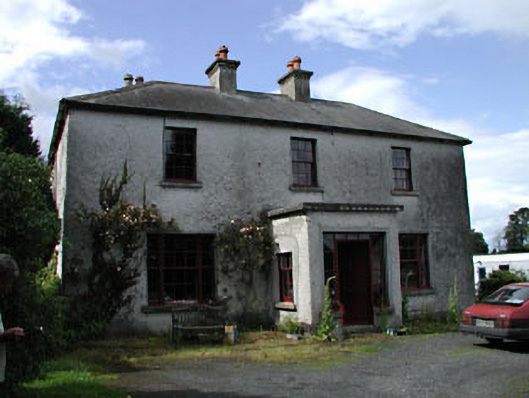 Moatstown Housemiller's house · 793 yd
 Milltown Bridgebridge · 1290 yd
 Reban CastleCastle, Anglo-Norman masonry castle · 1.3 mi
 Bawn in Townparks (athy West Urban Ed)Bawn · 1.6 mi
 Gone FishingMemorial · 2.1 mi
 1798 memorialMemorial · 2.1 mi
 Town HallMuseum · 2.1 mi
 Brackney WoodForest · 2.7 mi
 Derryvullagh IslandForest · 3.0 mi
 History of Moat of ArdscullVisitor information · 4.2 mi