What is recorded here
On E side of road; c. 50m N of possible ringfort (13162). Unenclosed area of overgrowth around ruin of parish church of Rossagh (14450) is all that is now evident of graveyard depicted on 1842 OS 6-inch map as trapezoidal area (c. 30m E-W; c. 40m N-S) defined by broken line N->S and by curving road to W, with church in NE corner; depicted similarly on 1906 and 1937 OS 6-inch maps, but shown as smaller (c. 20m E-W; c. 25m N-S). No visible surface trace of any gravemarkers or burials. Power (1932, 55 & 122) identifies this as site of 'Rosach na Righraidhi' which is mentioned in Crichad an Chaoilli.
On E side of road; c. 50m N of possible ringfort (13162). Unenclosed area of overgrowth around ruin of parish church of Rossagh (14450) is all that is now evident of graveyard depicted on 1842 OS 6-inch map as trapezoidal area (c. 30m E-W; c. 40m N-S) defined by broken line N->S and by curving road to W, with church in NE corner; depicted similarly on 1906 and 1937 OS 6-inch maps, but shown as smaller (c. 20m…
From the National Monuments Service (Archaeological Survey of Ireland) record CO017-045001
The monument record does not grant public access. Check the route and ask the landowner before entering private land.
- What survives
- Recorded monument
Places near here
Photo credits
- National Inventory of Architectural Heritage
- Pottercomuneo, Wikimedia Commons · CC BY-SA 4.0
- Mike Searle, Wikimedia Commons · CC BY-SA 2.0
- Miguel Angel Masegosa Martínez, Wikimedia Commons · CC BY 2.0
- Sitomon, Wikimedia Commons · CC BY-SA 2.0
- David P Howard, Geograph · CC BY-SA 2.0
LissardFairy fort / earthen ringfort · 889 yd Old CourtCountry house · 1466 ydOld CourtCountry house · 1484 ydKilcolman Castle (in Ruins)Castle, tower house · 1725 ydKilcolman CastleCastle · 1728 ydSmith's WellSpring · 1.2 miDoneraile CourtGates/railings/walls · 1.5 miDoneraile CourtGate lodge · 1.6 miSweet Chestnut1.8 miEuropean Yew2.0 miDavid HurleyMemorial · 2.8 miTowerDovecote · 3.1 mi
 Old CourtCountry house · 1466 yd
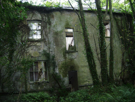 Old CourtCountry house · 1484 yd
 Kilcolman Castle (in Ruins)Castle, tower house · 1725 yd
.jpg/250px-Castles_of_Munster-_Kilcolman,_Cork_(geograph_3036773).jpg "Photo: Mike Searle, Wikimedia Commons · CC BY-SA 2.0") Kilcolman CastleCastle · 1728 ydSmith's WellSpring · 1.2 mi
Kilcolman CastleCastle · 1728 ydSmith's WellSpring · 1.2 mi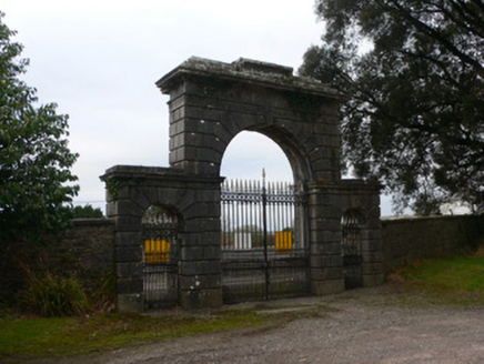 Doneraile CourtGates/railings/walls · 1.5 mi
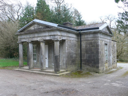 Doneraile CourtGate lodge · 1.6 mi
 Sweet Chestnut1.8 mi
 European Yew2.0 miDavid HurleyMemorial · 2.8 mi
 TowerDovecote · 3.1 mi
More archaeology and monuments in County Cork · All of County Cork
What do you know about this place?