
Places near here
Photo credits
- Nigel Thompson, Geograph · Creative Commons Attribution-ShareAlike 2.0
- National Inventory of Architectural Heritage
- Maker not stated on source page, www.pinterest.com
- Maker not stated on source page, www.irishmirror.ie
- Maker not stated on source page, monumentalireland.ie
- Leomyhero at English Wikipedia, Wikimedia Commons · CC BY-SA 3.0
- The Clare Echo; photographer not named in the article, www.clareecho.ie
- Maker not stated on source page, www.dreamstime.com
- Kmcnamee, Wikimedia Commons · CC BY-SA 4.0
- John M, Geograph · CC BY-SA 2.0
 Tubber Railway StationRailway station · 346 yd
Explorer Tom Tubber Railway Station in Rathwilladoon is proud of its timber sign even though no trains have come for ages. It’s been…
 bridge371 yd
Explorer Tom Bridge in Rathwilladoon has changed its name so many times it's given up and just goes by Bridge for now. It sits next…
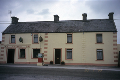 M. O'GradyHouse · 1009 yd
Explorer Tom M. O'Grady in Carrowcraheen is a house that used to be a post office, which means it knows where all your letters went.…
 Fairy fort / stone ringfort in CurtaunFairy fort / stone ringfort · 1162 yd
Explorer Tom Fairy fort / stone ringfort in Curtaun is a collapsed drystone wall hiding under field-clearance rubble like it’s…
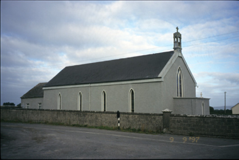 Saint Michael's Catholic ChurchChurch/chapel · 1390 yd
Explorer Tom Saint Michael's Catholic Church in Creggaunycahill is an 1850 church with a carved limestone bellcote that looks like…
 Fairy fort / earthen ringfort in CurtaunFairy fort / earthen ringfort · 1452 yd
Explorer Tom Fairy fort / earthen ringfort in Curtaun was levelled around 1980 because someone decided the grass looked better…
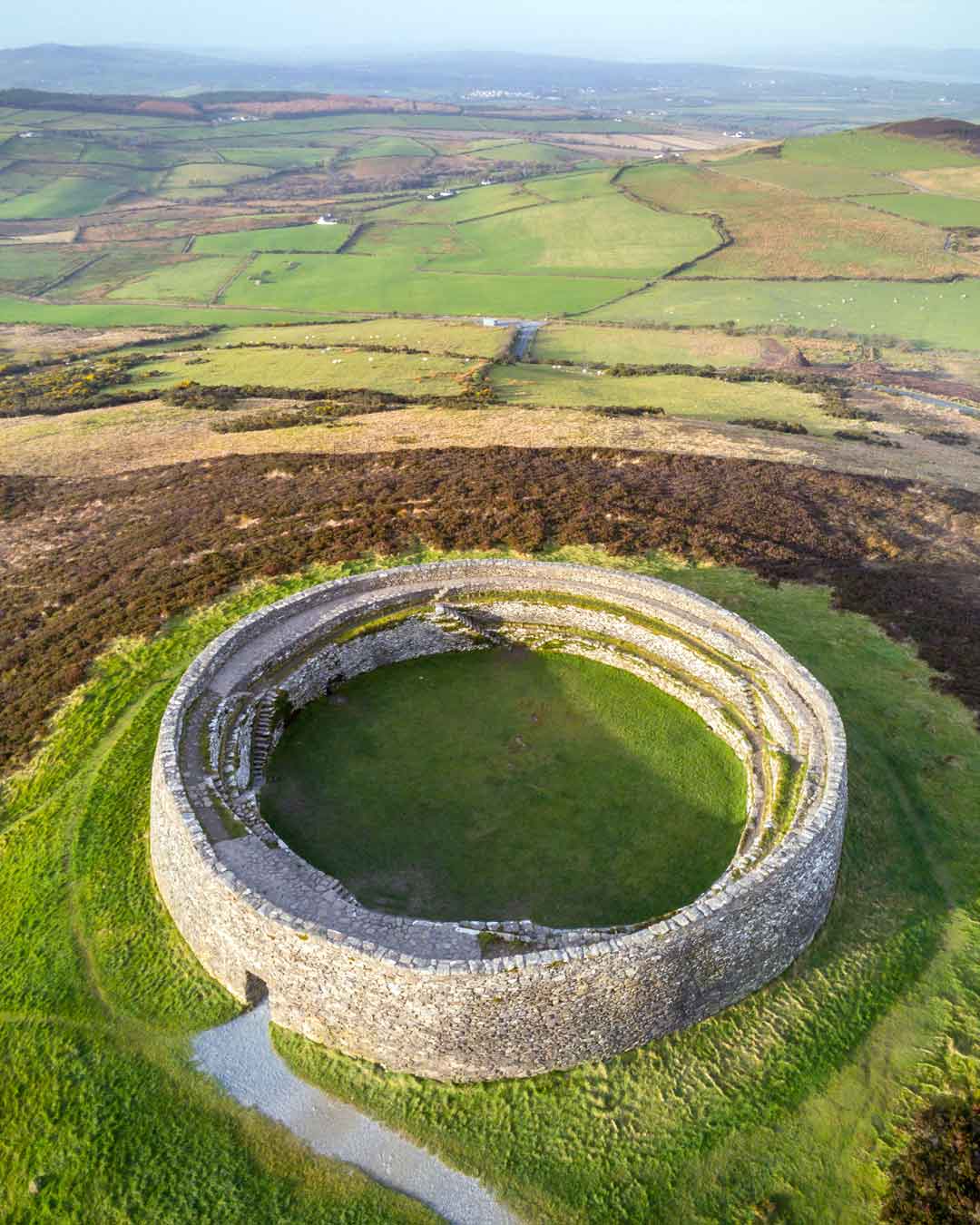 Fairy fort / ringfort in Curtaun,lurgaFairy fort / ringfort · 1.0 mi
Explorer Tom Fairy fort / ringfort in Curtaun, Lurga has no records, so it’s basically an urban legend with a postcode attached. It…
 Fiddaun Castle (in ruins)Castle, tower house · 1.1 mi
Explorer Tom Fiddaun Castle hosted a dance that went way too far, ending in a six-storey tower house being partially restored…
 Tubber GAA pitchGAA ground · 1.9 mi
 St. Annes CemeteryGraveyard · 2.4 mi
Explorer Tom St. Annes Cemetery in Ashfield Demesne has an escape plan involving a very fast horse and no map. It was the first…
 Beagh GAAGAA ground · 2.7 mi
 Kilmacduagh Monastic SiteVisitor information · 3.8 mi
Explorer Tom Kilmacduagh Monastic Site thinks Dublin tourists are basically overgrown children who need a stern lecture about…
More archaeology and monuments in County Galway · All of County Galway

What do you know about this place?Tap to add a comment or ask a question