What is recorded here
No visible tower, no proud gate, only a shallow circle of earth and grass on the hilltop. That is Rathwilladoon: an old ringfort reduced to a faint line in the field, perhaps a home, perhaps a marker, perhaps a place people stopped believing but never fully forgot.
On a hill summit in grassland. An almost circular rath (39.6m E-W; 38m NNW-SSE), in fair condition, defined by a bank and external fosse. The bank is visible from NNW to SSE, elsewhere a scarp forms the enclosing element. A field boundary cuts through the monument at NNW and SSE. A gap (Wth 2.9m) at SE may be original. Within the centre of the interior is a Man-made underground passage (GA128-070001-). A graveyard (GA128-069----) lies c. 40m to the SE.
Compiled by: Galway Archaeological Survey, UCG
Date of upload: 13 March 2018
The monument record does not grant public access. Check the route and ask the landowner before entering private land.
- What survives
- Recorded monument
Places near here
 Tubber Railway Stationrailway station · 383 yd
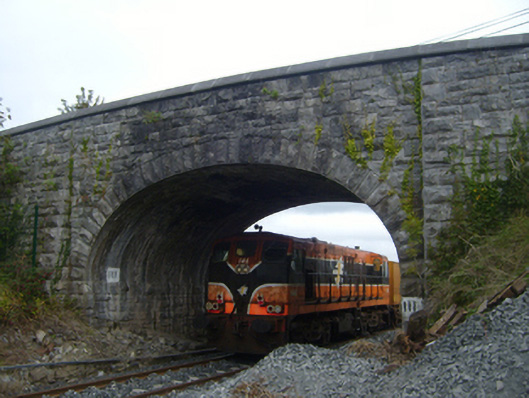 bridgebridge · 406 yd
 Tobereendoney Holy WellHoly well · 881 yd
 Enclosure in CarrowcraheenEnclosure · 1447 yd
 Fiddaun Castle (in ruins)Castle, tower house · 1.1 mi
 Bawn in Fiddaun (kiltartan By.)Bawn · 1.1 mi
 Swan IslandIsland · 3.7 mi
 Kilmacduagh MonasteryHeritage attraction · 3.7 mi
 Kilmacduagh Monastic SiteVisitor information · 3.8 mi
 Mulkere MemorialMemorial · 3.9 mi
 Apple IslandWood · 4.1 mi
 Keaghery IslandWood · 4.4 mi