What is recorded here
Possibly associated with a church (LF019-030----). This irregularly shaped graveyard (53m E-W; 52m N-S) is enclosed by a stone wall. Access is via a wrought-iron gate at NE. Memorials date from the late 17th (see LF019-030003- and LF019-030004-) to the 20th centuries. The church (C of I) in the N sector dates to the 19th century. A fragment of a late-medieval window sill that was reused as a grave-marker may be from the earlier church. A fragment of a cross (LF019-030002-) is visible in the S half. (Lennon 2005)
Compiled by: Patrick F. O'Donovan, Caimin O'Brien
Date of upload: 5 June 2013
The monument record does not grant public access. Check the route and ask the landowner before entering private land.
- What survives
- Recorded monument
Places near here
 Church in Moydow GlebeChurch · 1 yd
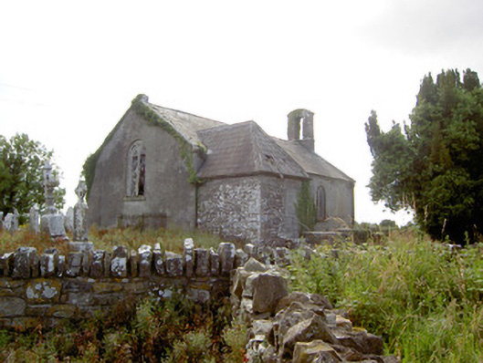 Moydow Churchchurch/chapel · 16 yd
 Enclosure in Moydow GlebeEnclosure · 73 yd
 BarrowBarrow, bowl-barrow · 940 yd
 Bawn Castle & NunneryHouse, fortified house · 1261 yd
 Bawn in CastlereaBawn · 1378 yd
 National Famine WayWalking route · 1.0 mi
 Graveyard in Curry (ardagh By., Coolamber Ed)Graveyard · 2.3 mi
 First World War MemorialMemorial · 4.1 mi
 Saint Mel's CathedralCathedral · 4.2 mi
 Commons North WalkVisitor information · 8.8 mi
 Wild birdsVisitor information · 8.8 mi