
What is recorded here
From the National Monuments Service (Archaeological Survey of Ireland) record WI022-011004
Places near here
Photo credits
- Maker not stated on source page, www.dreamstime.com
- Maker not stated on source page, commons.wikimedia.org
- Maker not stated on source page, visitwicklow.ie
- Maker not stated on source page, uk.pinterest.com
- Maker not stated on source page, www.pinterest.com
- National Inventory of Architectural Heritage
- Jonathan Billinger, Wikimedia Commons · CC BY-SA 2.0
- Colin Park, Geograph · CC BY-SA 2.0
 Seskin rc GraveyardGraveyard · 4 yd
Explorer Tom Seskin rc Graveyard in County Wicklow has a hidden message in its stones if you squint really hard. It might say 'Buy…
 Standing stone in LeitrimStanding stone · 197 yd
Explorer Tom Standing stone in Leitrim is leaning over like it heard a joke at the pub and can't stop laughing. It’s got excellent…
 The Long StoneOgham stone · 802 yd
Explorer Tom The Long Stone in Knickeen would describe itself to a stranger as 'a granite opinion piece with excellent structural…
 Holy well in Brittas (talbotstown Upper By.)Holy well · 1501 yd
Explorer Tom St Laurence’s Well in Brittas rates its visitors as 'tolerably damp.' St Laurence O’Toole drank from it and probably…
 Standing stone in CoanStanding stone · 1.3 mi
Explorer Tom Standing stone in Coan is leaning so heavily that I bet it’s waiting for someone to give it a little push to see if it…
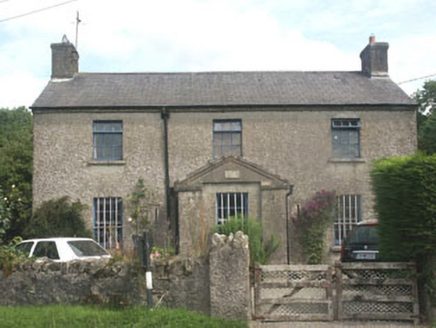 The Old BarracksRic barracks · 1.7 mi
Explorer Tom The Old Barracks has a ridiculous smuggling story involving a wheelbarrow full of cheese. They say the RIC guards…
 Standing stone in BallinardStanding stone · 1.7 mi
Explorer Tom Standing stone in Ballinard is leaning against a slope, looking absolutely exhausted from holding up the sky since the…
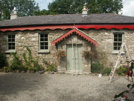 Old School HouseSchool · 1.7 mi
Explorer Tom Old School House in Knockanarrigan has a lifelong feud with the next village over who claims they invented the word…
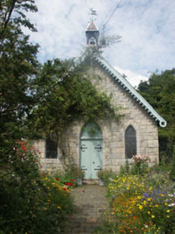 Old Church HallChurch hall/parish hall · 1.7 mi
Explorer Tom Old Church Hall in Knockanarrigan is definitely up to something when nobody is looking at it from the road. It’s a late…
 Flat cemetery in ClonshannonFlat cemetery · 1.7 mi
Explorer Tom Flat cemetery in Clonshannon is involved in a bitter dispute over parking rights with the fairies, who insist they paid…
 SugarloafMountain / peak · 1.7 mi
Explorer Tom Tell someone you climbed Sugarloaf and they may picture the wrong Wicklow mountain entirely. This one stands west of…
 LobawnMountain / peak · 2.3 mi
Explorer Tom Lobawn in County Wicklow is playing hide-and-seek with me, hiding behind its own boring boundary stone which claims…
More archaeology and monuments in County Wicklow · All of County Wicklow

What do you know about this place?Tap to add a comment or ask a question