What is recorded here
On a W-facing slope on the SW lower slopes of Sugarloaf Mountain. In a forestry plantation with saplings recently planted. A granite standing stone (H 1.67m; Wth 0.52m; T 0.42m), long axis WSW-ENE, leaning slightly to E. Scars of wooden wedges on the NE angle indicated that the stone was split. (Further details on file).
Compiled by: Mary Tunney and Claire Breen
Date of upload: 17 December 2012
The monument record does not grant public access. Check the route and ask the landowner before entering private land.
- What survives
- Recorded monument
Places near here
 Enclosure in Ballinclea (talbotstown Upper By.)Enclosure · 733 yd
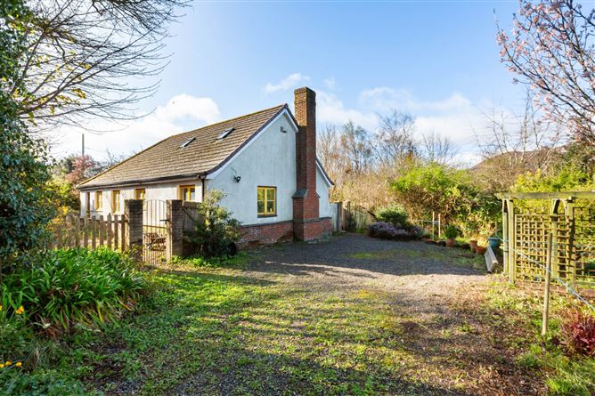 RaheenroeFairy fort / earthen ringfort · 818 yd
 SugarloafMountain / peak · 1076 yd
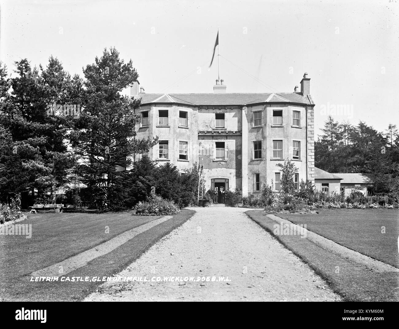 Leitrim BarracksRuins · 1.4 mi
 Seskin Ho. in ruinsHouse, fortified house · 1.5 mi
 Artillery MemorialMemorial · 1.5 mi
 PinnacleMountain / peak · 1.5 mi
 Michael Dwyer MemorialMemorial · 1.6 mi
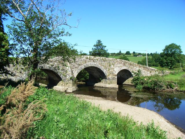 Kelsha Bridgebridge · 1.7 mi
 Pedunculate OakPedunculate Oak · 2.1 mi
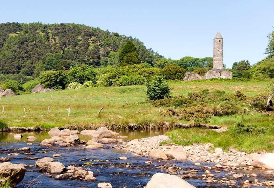 Ball MoatCastle, motte · 2.2 mi
 English hollyEnglish holly · 2.7 mi