What is recorded here
Situated on a low natural hummock, on a gentle S-facing slope with steeper ground to the S. Circular area (int. diam. 30m; max. ext. diam. 45.3m NE-SW) with a naturally raised interior, defined by a large earth and gravel bank (Wth 6.5-9.5m; int. H 1.3m; ext. H 2.6-3.6m) with slight traces of a fosse at the N and E. There are two gaps (Wth 2m) at the NW and S, either of which may be an original entrance. Trenches dug within the site may indicate gravel extraction. No other internal features.
The above description is derived from the published 'Archaeological Inventory of County Wicklow' (Dublin: Stationery Office, 1997). In certain instances the entries have been revised and updated in the light of recent research.
Date of upload/revision: 17 December 2008
The monument record does not grant public access. Check the route and ask the landowner before entering private land.
- What survives
- Recorded monument
Places near here
 Embanked enclosureFairy fort / earthen ringfort · 801 yd
 SugarloafMountain / peak · 1324 yd
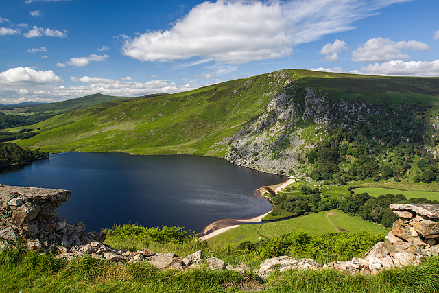 Mulladarragh RathFairy fort / earthen ringfort · 1547 yd
 PinnacleMountain / peak · 1.1 mi
 Pedunculate OakPedunculate Oak · 1.6 mi
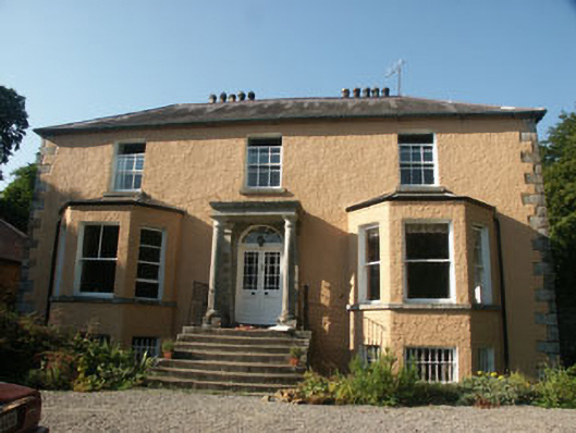 Mount Farishouse · 1.7 mi
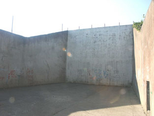 handball alleyhandball alley · 1.7 mi
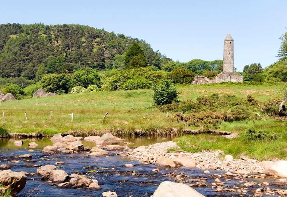 Ball MoatCastle, motte · 1.7 mi
 Seskin Ho. in ruinsHouse, fortified house · 2.0 mi
 Artillery MemorialMemorial · 2.0 mi
 Michael Dwyer MemorialMemorial · 2.1 mi
 English hollyEnglish holly · 2.5 mi