
What is recorded here
Situated at the SW end of a narrow steep-sided ridge overlooking marshy ground from SE-SW. Oval area (dims. 34.5m NNE-SSW; 27m WNW-ESE; max. ext. dims. 59.5m NNE-SSW; 44m WNW-ESE), defined by a massive earthen bank (Wth 4.5-8m; H 0.8-1.75m) with an external flat-bottomed fosse (Wth 9m; max. D 2.3m) at the NE and SW. Along the edges of the ridge the fosse merges into the steep slope (at the NW) and into a berm (at the SE). There is an outer bank (max. Wth 2.5m; max. H 1m) from NW-E, and a possible entrance (Wth 1.8m) at the NW. No indication of internal features.
The above description is derived from the published 'Archaeological Inventory of County Wicklow' (Dublin: Stationery Office, 1997). In certain instances the entries have been revised and updated in the light of recent research.
Date of upload/revision: 17 December 2008
This monument is subject to a preservation order made under the National Monuments Acts 1930 to 2014 (PO no. 21/1976).
The monument record does not grant public access. Check the route and ask the landowner before entering private land.
- What survives
- Recorded monument
Places near here
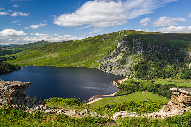 Mulladarragh RathFairy fort / earthen ringfort · 930 yd
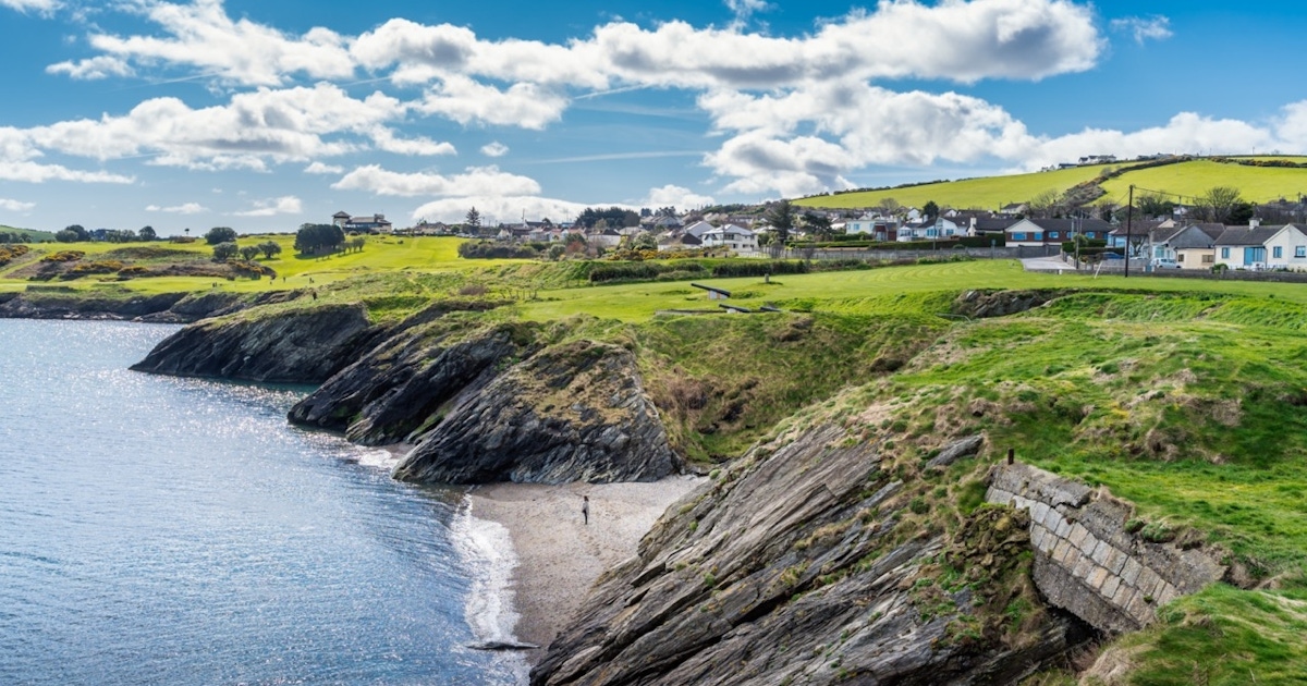 Raheens MoundFairy fort / earthen ringfort · 1579 yd
 SugarloafMountain / peak · 1.2 mi
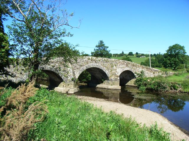 Kelsha Bridgebridge · 1.4 mi
 Pedunculate OakPedunculate Oak · 1.4 mi
 PinnacleMountain / peak · 1.4 mi
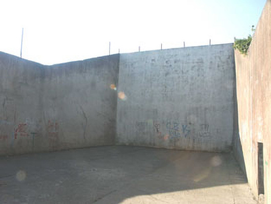 handball alleyhandball alley · 1.4 mi
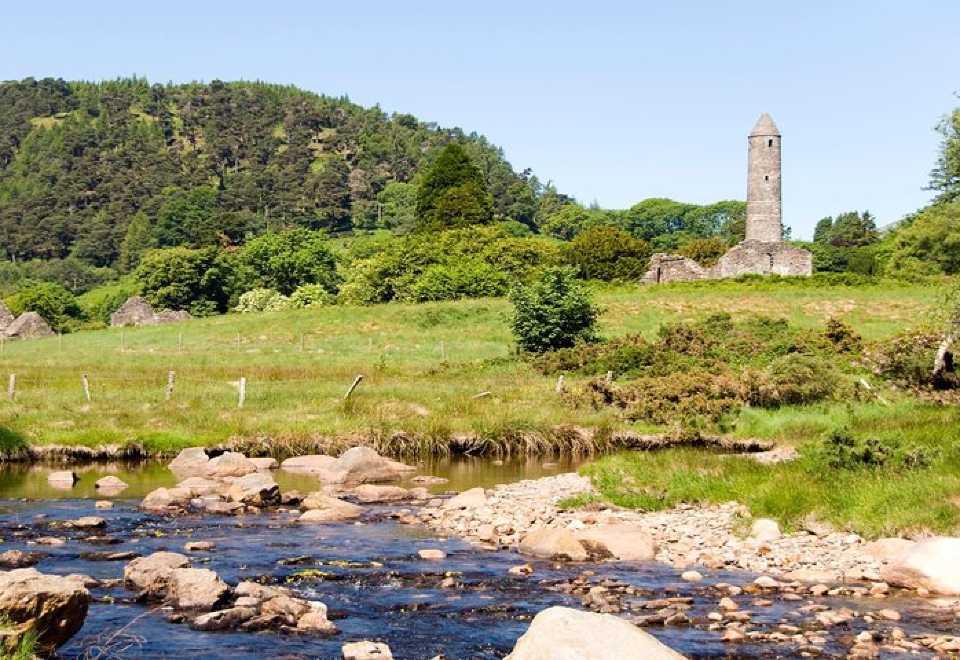 Ball MoatCastle, motte · 1.4 mi
 English hollyEnglish holly · 2.0 mi
 Seskin Ho. in ruinsHouse, fortified house · 2.1 mi
 Artillery MemorialMemorial · 2.2 mi
 Michael Dwyer MemorialMemorial · 2.2 mi
Other information
Photo: Credit not shown in the picture search · Rights wording not checked; contact us if this picture should be removed