What is recorded here
Situated on a slight rise at the W edge of a broad N-S ridge with the valley of the NW-SE River Sow c. 500m to the SW. The site of the parish church of Kilmallock (WX032-005001-) is within a raised oval graveyard (dims. c. 55m NW-SE; c. 45m NW-SE) defined by a masonry wall NE-S-NW, but the perimeter has been removed elsewhere and the graveyard extended to the NW-SE public road (max. dim. c. 40m N-S). The site of St Mary's Well (WX032-006----) is c. 350m to the S.
Compiled by: Michael Moore
Date of upload: 31 August, 2012
This remains an important historical record, but the official description says the monument is no longer visible or has been destroyed. The monument record does not grant public access. Check the route and ask the landowner before entering private land.
- What survives
- No visible remains or recorded as destroyed
Places near here
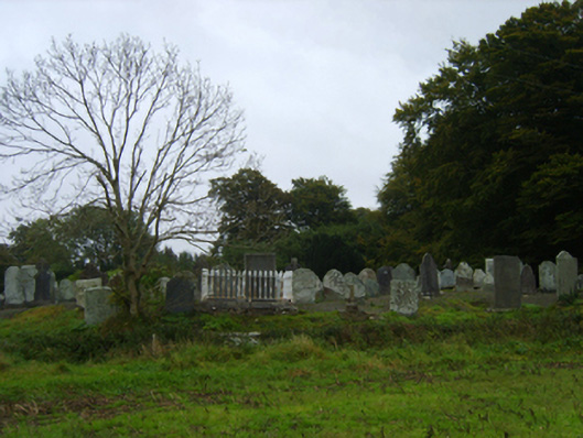 graveyard/cemeterygraveyard/cemetery · 4 yd
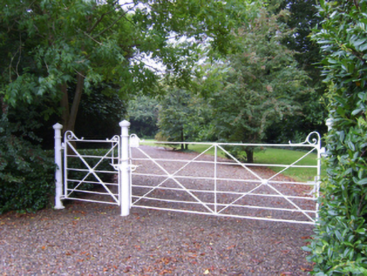 Kilmallock Housefarm house · 105 yd
 St. Marys WellHoly well · 398 yd
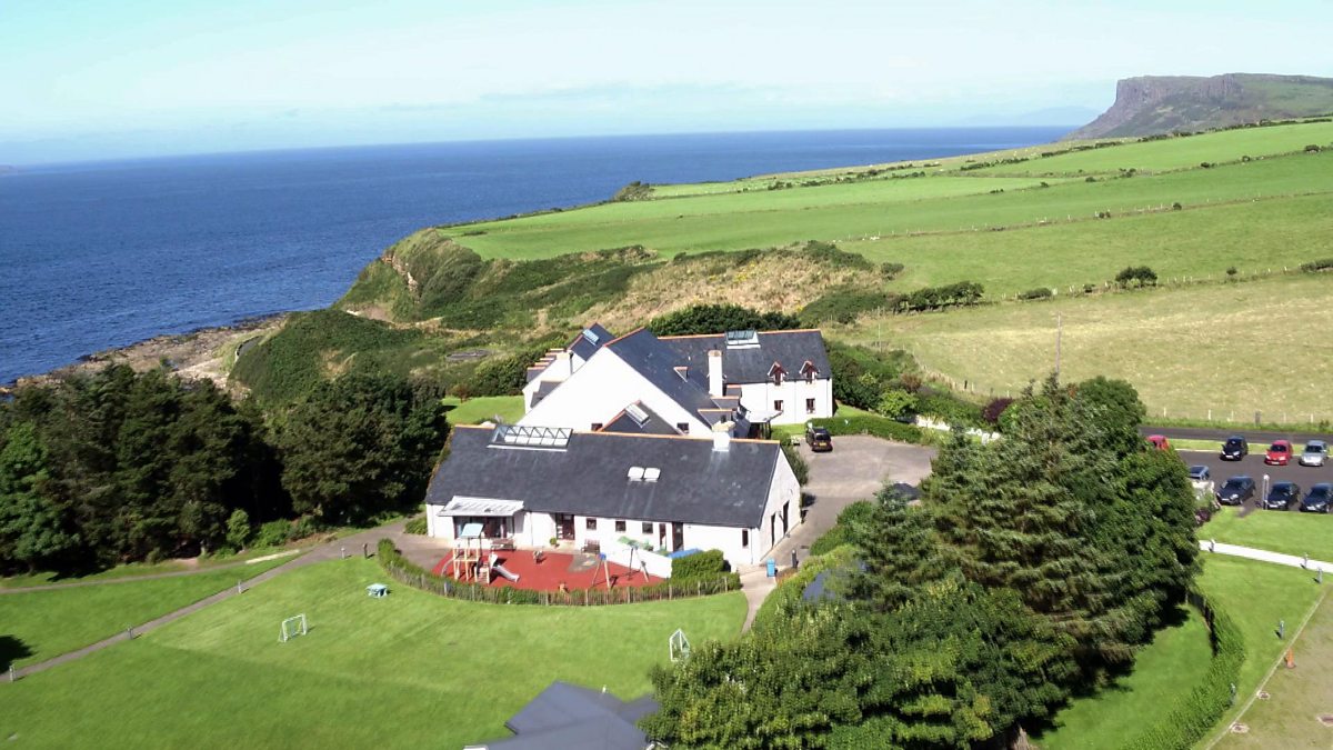 ToberakilleenHoly well · 1252 yd
 Ballinkeel Castle (in ruins)Castle, unclassified · 1345 yd
 Scurlocksbush HillMountain / peak · 2.2 mi
 CastleCastle, ringwork · 4.9 mi
 Vinegar HillMountain / peak · 5.5 mi
 Battle of Vinegar Hill, 1798Monument · 5.6 mi
 National 1798 CentreMuseum · 5.6 mi
 Battle of Vinegar HillMajor battlefield · 5.9 mi
 Duffry GateMemorial · 6.1 mi