
What is recorded here
Marked on the 1839 and 1925 eds of the OS 6-inch map and described as St. Mary’s Well on both. It is located on a gentle SW-facing slope with the NW-SE River Sow c. 150m to the SW. According to John O’Donovan writing c. 1840 the pattern was held on the 15th August (O'Flanagan 1933, vol. 1, 356), but the well is no longer visible at ground level in pasture. It is described locally as having had a canopy and steps leading down to it, but there is no memory of a pattern.
Compiled by: Michael Moore
Date of upload: 31 August, 2012
Linked to St. Mary, the well is traditionally associated with healing and fertility, with historical accounts noting its use in local Christian devotion and folk practice. The site’s long-standing recognition on official maps suggests continuity of veneration from early modern times.
The monument record does not grant public access. Check the route and ask the landowner before entering private land.
- What survives
- Recorded monument
Places near here
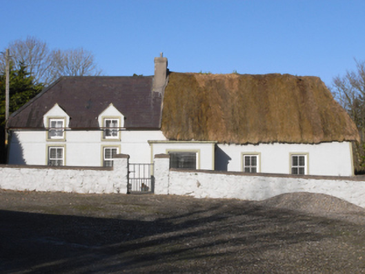 farm housefarm house · 223 yd
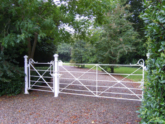 Kilmallock Housefarm house · 328 yd
 ToberakilleenHoly well · 1034 yd
 Enclosure in CoolamainEnclosure · 1420 yd
 Ballinkeel Castle (in ruins)Castle, unclassified · 1741 yd
 Embanked enclosureCastle, ringwork · 1.9 mi
 Scurlocksbush HillMountain / peak · 2.3 mi
 Ballywish SouthForest · 3.4 mi
 Peace GardenMemorial · 3.6 mi
 Rectory Hall ForestWood · 3.7 mi
 Vinegar HillMountain / peak · 5.7 mi
 National 1798 CentreMuseum · 5.8 mi
Other information
Photo: Credit not shown in the picture search · Rights wording not checked; contact us if this picture should be removed