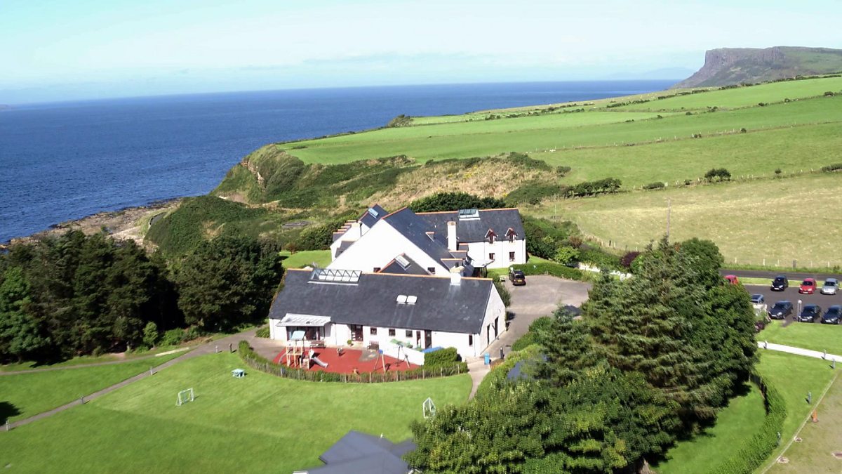
What is recorded here
Marked on the 1839 and 1925 eds of the OS 6-inch map where it is described as Toberakilleen – the well of the childrens’ burial ground. It is situated in a hollow (diam. c. 8m; max. D 1.8m at S) on a N-facing slope with an E-W stream c. 150m to the N. It is within a triangular copse (dims. c. 50m N-S; c. 35m E-W) of mature trees on the W side of a N-S public road. The well is rectangular (dims. 0.95m N-S; 0.8m E-W) and defined by masonry walls (H 0.6m) with two stone lintels on top. It is open on the N side where a small stream is spanned by a single stone (Wth 0.5m) just outside the well. There is a large tree growing over it, but there is no evidence of veneration and there is no record of veneration.
Compiled by: Michael Moore
Date of upload: 31 August, 2012
Toberakilleen is associated with a local tradition of children’s burials, suggesting a possible connection to ancient or early Christian practices of interring the deceased near sacred water sources. The name and context imply a site of spiritual or ritual significance, though specific saintly associations or cures are not recorded.
The monument record does not grant public access. Check the route and ask the landowner before entering private land.
- What survives
- Recorded monument
Places near here
 Kilmallock Bridgebridge · 699 yd
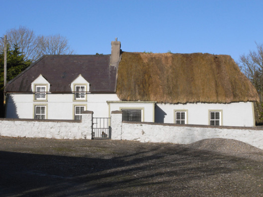 farm housefarm house · 813 yd
 St. Marys WellHoly well · 1034 yd
 IndicatedEnclosure · 1644 yd
 Ballinkeel Castle (in ruins)Castle, unclassified · 1.4 mi
 Embanked enclosureCastle, motte · 1.8 mi
 Eden ValeWood · 2.4 mi
 1798 MemorialMemorial · 2.6 mi
 Ballywish SouthForest · 2.9 mi
 Peace GardenMemorial · 3.1 mi
 Ballinesker BeachBeach / strand · 5.2 mi
 Wexford Wildfowl ReserveHeritage attraction · 5.2 mi
Other information
Photo: Credit not shown in the picture search · Rights wording not checked; contact us if this picture should be removed