
What is recorded here
Situated on a promontory in a loop of the N-S River Sow with steep slopes S-W-N where the river is c. 20m distant to the N, and c. 80-90m distant S-NW. This is a raised and overgrown subcircular platform (dims. 16m N-S; 13m E-W) defined a by flat bottomed fosse (Wth of top 4.7 6m; D c. 1.4-1.6m) with an external bank (Wth s. 3m) SE W NE situated at the W end of the natural promontory with steep slopes (H c. 10m) down to the river Sow. The monument is damaged at the E side by farm buildings. Toberfinnick ringwork (WX032 021----) is c. 100m to the N on the other side of the river. It is listed as a possible ringwork castle (Barry 1987, 53), and suggested as a possible caput for the Roche grant of Fernegenel (Colfer 2002, 105).
The above description is derived from the published 'Archaeological Inventory of County Wexford' (Dublin: Stationery Office, 1996). In certain instances the entries have been revised and updated in the light of recent research.
Compiled by: Michael Moore
Date of upload/revision: 17 July 2007
A local castle; wider significance not recorded.
The monument record does not grant public access. Check the route and ask the landowner before entering private land.
- What survives
- Recorded monument
Places near here
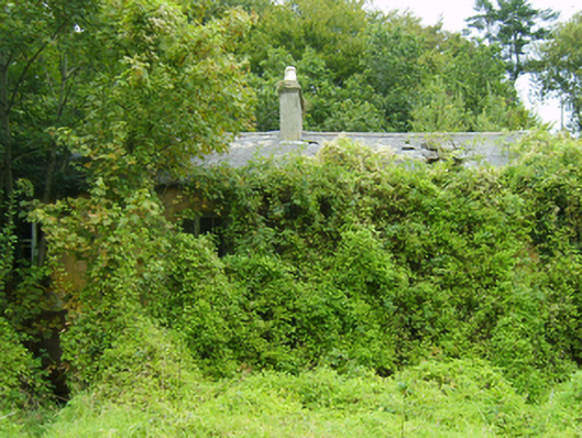 farm housefarm house · 783 yd
 Man-made underground passage in Mill Lands (ballaghkeen By., Edermine Ed)Man-made underground passage · 976 yd
 Not idicatedField system · 1316 yd
 Eden ValeWood · 1.0 mi
 Tanglewoodhouse · 1.1 mi
 Artramon CastleCastle, tower house · 1.7 mi
 Peace GardenMemorial · 2.1 mi
 IndicatedCastle, unclassified · 2.1 mi
 Ballywish SouthForest · 2.2 mi
 1798 MemorialMemorial · 3.6 mi
 Wexford Wildfowl ReserveHeritage attraction · 4.2 mi
 Three Sisters River CruisesHeritage attraction · 4.4 mi
Other information
Photo: Credit not shown in the picture search · Rights wording not checked; contact us if this picture should be removed