
What is recorded here
Mislabelled as a castle on old maps because a traveller assumed grandeur, the square shale tower on its Wexford rise is more likely a garden folly later fitted with dove niches. It stands seven metres tall with blocked pointed windows and a lintelled doorway, no larger than a generous gazebo. The true identity is in the shape: a small decorative tower made useful, not a fortress built to resist siege.
Marked as a structure described as Ballinkeel Castle in the 1839 and 1940 eds. of the OS 6-inch map and situated on a rise in a low-lying landscape. John O’Donovan writing c. 1840 says there was an old castle of the Hays family at Ballinkeel (O’Flanagan 1933, vol. 1, 356), and he is probably the origin of the mis-classification of what is a folly or gazebo on the grounds of Ballinkeel House, which was adapted later as a dove-cote. According to the Civil Survey (1654-6) William Kennay, a Protestant, owned 300 acres in Ballinkeile in 1641, but there is no record of a castle (Simington 1953, 65). The Hays family acquired the land in the18th century but there are no other references to a castle (Hore 1990-11, vol. 6, 590; Jeffrey 1979, 180-1).
The structure is a square tower (ext. dims. 5.35m x 5.35m; H c. 7m) with mortared shale walls (T 0.85m). There is a lintelled doorway (Wth 1.2m; H 2m) in the S wall but the inner face of the walls is occupied by niches for doves. Externally at the first floor there are large pointed windows (Wth c. 1m; H c. 2m), now blocked up, in each wall.
Compiled by: Michael Moore
Date of upload: 11 July, 2012
Ballinkeel Castle was built by the Hay family, an influential Norman-descended Gaelicized clan in the region, and is believed to date to the late medieval period. It is remembered as a historical landmark associated with local power structures and is noted in early 19th-century maps and writings by John O’Donovan.
The monument record does not grant public access. Check the route and ask the landowner before entering private land.
- What survives
- Recorded monument
Places near here
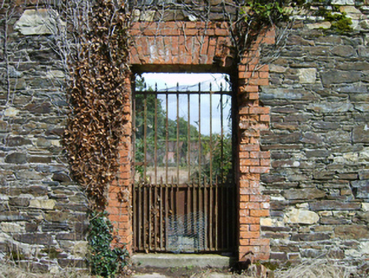 Ballinkeel Housewalled garden · 393 yd
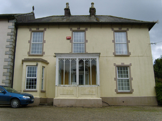 Catholic Church of the Assumption and Saint Malachypresbytery/parochial/curate's house · 772 yd
 IndicatedEnclosure · 794 yd
 Enclosure in CoolamainEnclosure · 1626 yd
 CastleCastle, ringwork · 4.5 mi
 Vinegar HillMountain / peak · 4.9 mi
 Battle of Vinegar Hill, 1798Monument · 4.9 mi
 National 1798 CentreMuseum · 5.1 mi
 Battle of Vinegar HillMajor battlefield · 5.3 mi
 Duffry GateMemorial · 5.5 mi
 U.N. Peace MemorialMonument · 5.5 mi
 Daphney CastleCastle, unclassified · 6.3 mi
Other information
Photo: Credit not shown in the picture search · Rights wording not checked; contact us if this picture should be removed