
What is recorded here
Located on a low E-W rise in the basin of the River Sow with the N-S stream c. 100m to the E. A square grass-covered area (dims. 38m N-S; 38m E-W) defined by low scarps is attached to the W of rath (WX032-043001-).
Compiled by: Michael Moore
Date of upload: 31 August, 2012
The monument record does not grant public access. Check the route and ask the landowner before entering private land.
- What survives
- Recorded monument
Places near here
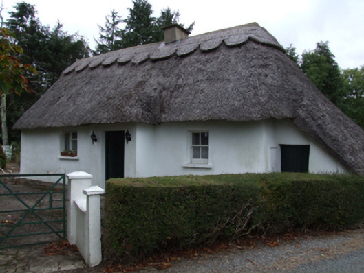 Bog Road Cottagehouse · 530 yd
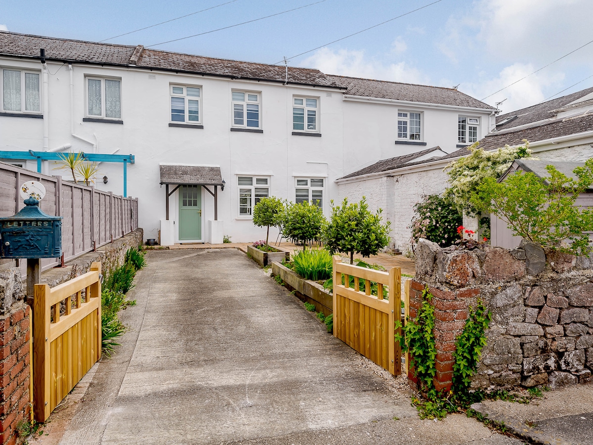 Enclosure in MartingaleEnclosure · 1092 yd
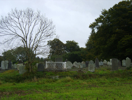 graveyard/cemeterygraveyard/cemetery · 1302 yd
 St. Marys WellHoly well · 1420 yd
 Ballinkeel Castle (in ruins)Castle, unclassified · 1626 yd
 Scurlocksbush HillMountain / peak · 1.5 mi
 CastleCastle, ringwork · 4.2 mi
 Vinegar HillMountain / peak · 5.0 mi
 National 1798 CentreMuseum · 5.1 mi
 Battle of Vinegar Hill, 1798Monument · 5.1 mi
 Battle of Vinegar HillMajor battlefield · 5.3 mi
 Duffry GateMemorial · 5.5 mi
Other information
Photo: Credit not shown in the picture search · Rights wording not checked; contact us if this picture should be removed