What is recorded here
Located at the E end of a low E-W rise in the basin of the River Sow with the N-S stream c. 80m to the E. This is a raised D shaped grass-covered area (dims. 18.5m E-W; 16.5m N-S) with the straight sides at W (L 12m) and S (L 11.5m) where it was disturbed anciently and the spoil added to the interior creating an uneven but rather flat topped mound. It is defined by an earthen bank (Wth 3.5 4.5m; int. H 0.3m; ext. H 1m) and outer fosse (Wth of top 6m; Wth of base 3m; ext. D 0.1m) NW SE, but the perimeter is curtailed by an E-W field bank at S and cut be a wide ancient trench (Wth of top 8m; Wth of base 3m; ext. D 1.2m) at W. There is no visible entrance. A square grass-covered annexe (dims. 38m N-S; 38m E-W) attached to the W is defined by low scarps.
The above description is derived from the published 'Archaeological Inventory of County Wexford' (Dublin: Stationery Office, 1996). In certain instances the entries have been revised and updated in the light of recent research.
Compiled by: Michael Moore
Date of upload/revision: 31 August, 2012
The monument record does not grant public access. Check the route and ask the landowner before entering private land.
- What survives
- Recorded monument
Places near here
 Enclosure in CoolamainEnclosure · 43 yd
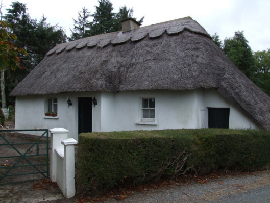 Bog Road Cottagehouse · 559 yd
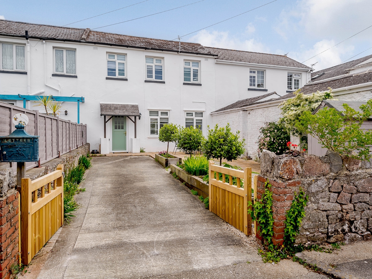 Enclosure in MartingaleEnclosure · 1110 yd
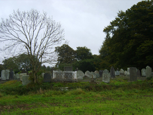 graveyard/cemeterygraveyard/cemetery · 1260 yd
 Ballinkeel Castle (in ruins)Castle, unclassified · 1596 yd
 Scurlocksbush HillMountain / peak · 1.6 mi
 CastleCastle, ringwork · 4.2 mi
 Vinegar HillMountain / peak · 5.0 mi
 National 1798 CentreMuseum · 5.1 mi
 Battle of Vinegar Hill, 1798Monument · 5.1 mi
 Battle of Vinegar HillMajor battlefield · 5.4 mi
 Duffry GateMemorial · 5.5 mi