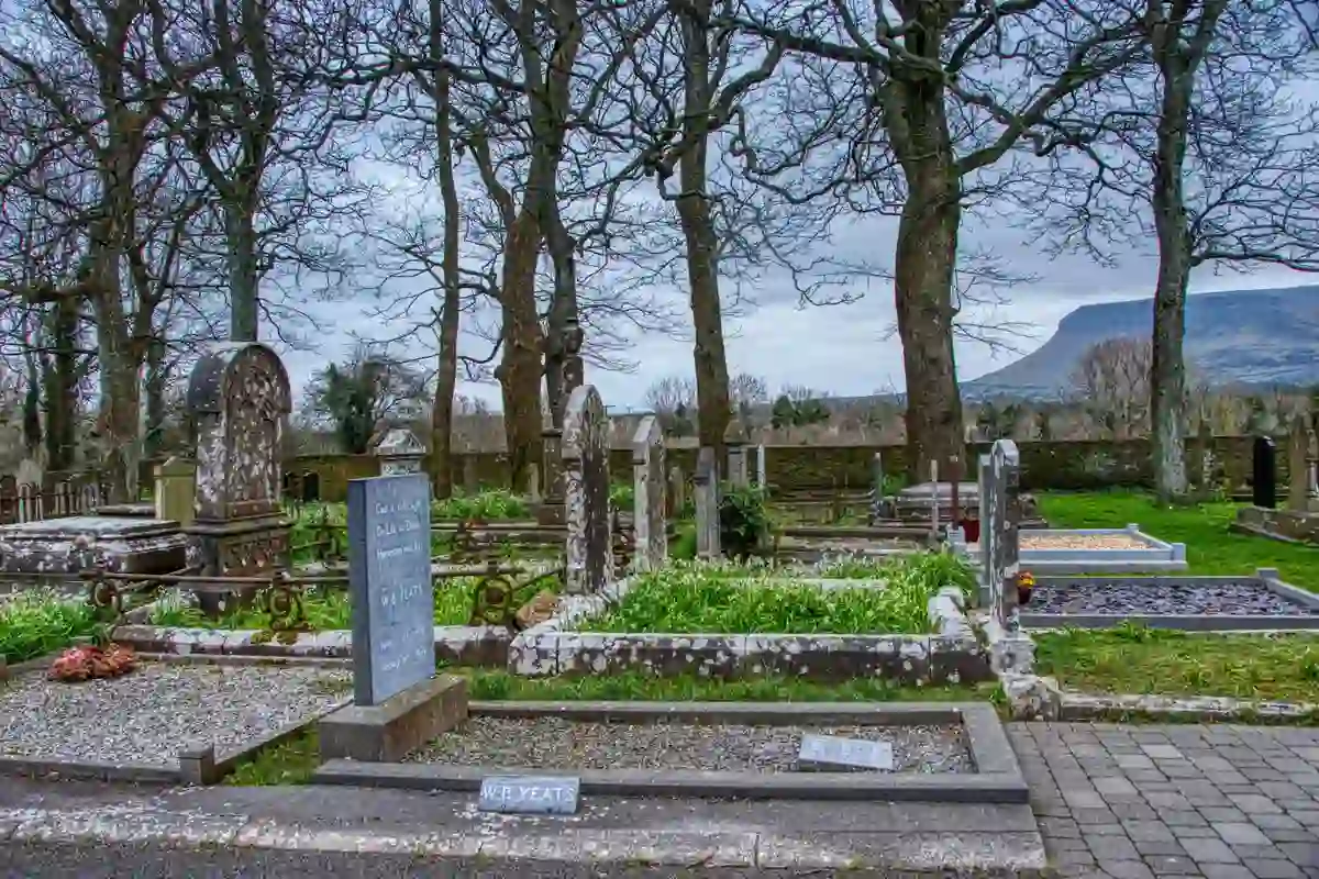
What is recorded here
In pasture on the S outskirts of Kilfinnane village, within the former demesne of Spahill, the lodge of which lies 280m to E. Annotated ‘graveyard’ on the 1840 ed. OSi 6-inch map where it is depicted as an irregular shaped area immediately E of Barrack Street. It is not shown on the 1897 ed. OSi 25-inch map. Annotated ‘Burial Ground (disused)’ on the Cassini ED. OSi 6-inch map. No surface remains visible on Google Earth orthoimages.
See attached Google Earth orthoimages.
Compiled by: Martin Fitzpatrick
Date of upload: 18 November 2021
A local ancient tomb; wider significance not recorded.
The monument record does not grant public access. Check the route and ask the landowner before entering private land.
- What survives
- Recorded monument
Places near here
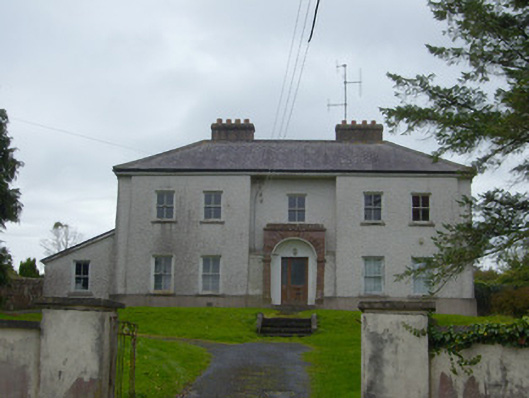 Kilfinnane Garda Síochána Stationhouse · 274 yd
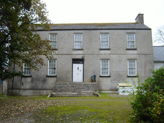 Spahillhouse · 303 yd
 Treada Na Ríogh (The Moat), hachuredCastle, motte · 412 yd
 Grave Yd.Graveyard · 593 yd
 Castle (in ruins)Castle, tower house · 628 yd
 Ballyhoura tourist informationVisitor information · 668 yd
 Furnace in KilfinnaneFurnace · 807 yd
 Palatine's RockNamed rock · 1413 yd
 Ballyhoura WayWalking route · 1.0 mi
 Keale MountainMountain / peak · 1.9 mi
 Gooseberry HillMountain / peak · 1.9 mi
 Ballinvreena LoopVisitor information · 2.6 mi
Other information
Photo: Credit not shown in the picture search · Rights wording not checked; contact us if this picture should be removed