What is recorded here
Approached by laneway from WSW; irregularly-shaped graveyard (c. 70m E-W; c. 90m N-S) on SE-facing slope, enclosed by stone wall. Ruins of Dangandonovan parish church (CO066-01702-) off-centre to W; large collection of 18th and 19th century headstones dating from 1724 to E and S of church (Henchion 1974, 26-58).
From the National Monuments Service (Archaeological Survey of Ireland) record CO066-017001
The monument record does not grant public access. Check the route and ask the landowner before entering private land.
- What survives
- Recorded monument
Places near here
Photo credits
- National Inventory of Architectural Heritage
- Jonathan Thacker, Geograph · Creative Commons Attribution-ShareAlike 2.0
- Mike Searle, Wikimedia Commons · CC BY-SA 2.0
- Andy Beecroft, Geograph · CC BY-SA 2.0
- Mac McCarron, Geograph · Creative Commons Attribution-ShareAlike 2.0
- Hywel Williams, Geograph · CC BY-SA 2.0
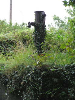 water pump558 yd
 GlengarraCountry house · 770 ydGlenbower WoodForest · 1.7 miFainin's WellSpring · 2.3 miLeahy's Open FarmHeritage attraction · 2.7 miClonmult Ambush SiteBattlefield · 2.7 miHistorical Graveyard InformationVisitor information · 3.1 mi
 St Laurences Well (covered)Holy well · 3.9 mi
 Castlemartyr CastleCastle · 4.6 mi
 N25 Picnic SitePicnic place · 4.7 mi
 Grave YardGraveyard · 5.0 mi
 Ballintotis Castle (in Ruins)Castle, tower house · 5.4 mi
More archaeology and monuments in County Cork · All of County Cork
What do you know about this place?