What is recorded here
Situated on a plateau on a gentle S-facing slope. Kilcolman church (WA038-020002-) is depicted faintly as a rectangular structure oriented E-W within a rectangular graveyard (dims. c. 65m ENE-WSW; c. 30m NNW-SSE) on the 1840 ed. of the OS 6-inch map. Described as a ‘green mound’ with an enclosing feature (Power 1898b, 162). A slight grass-covered platform is visible (dims. c. 34m N-S; 25m E-W) defined by a field bank at W and slight scarps (max. H 0.7m) at E and S is visible, but there is no evidence of a structure or burial.
Power, Rev. P. (1898b) Excursion guides – 2: Ardmore. WAJ 4, 147-63.
Compiled by: Michael Moore.
Date of upload: 10th October, 2010.
The monument record does not grant public access. Check the route and ask the landowner before entering private land.
- What survives
- Recorded monument
Places near here
 Site of Kilcolman ChurchChurch · 1 yd
 St. Colmans TreeRitual site, holy tree/bush · 28 yd
 Old StablesRuins · 1650 yd
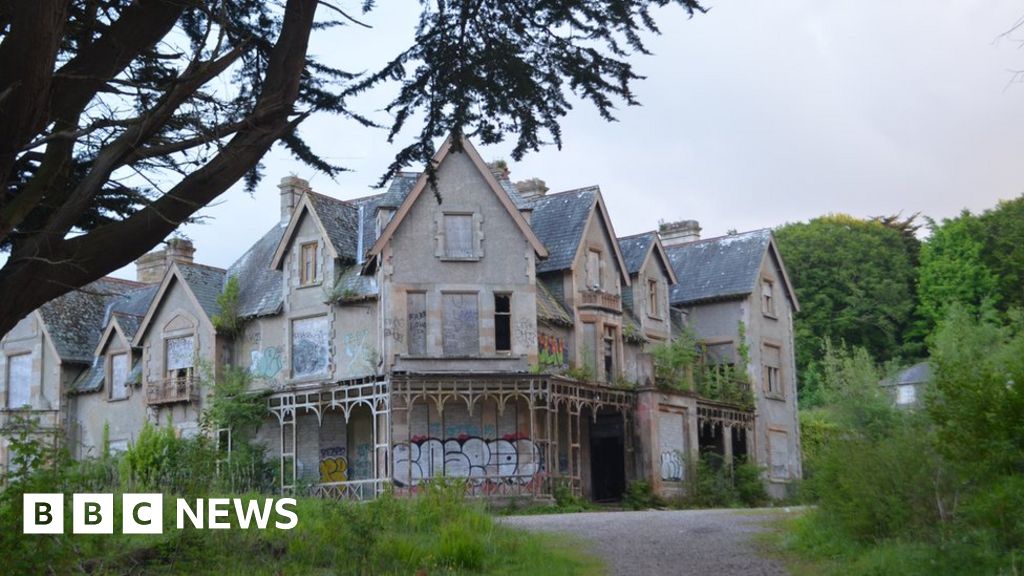 Fuge's/Haunted HouseRuins · 1675 yd
 Ballyquinn BeachBeach / strand · 1.3 mi
 Curragh/Pebble BeachBeach / strand · 1.9 mi
 Ardmore Cliff WalkWalking route · 3.1 mi
 Baile StairiúilVisitor information · 3.1 mi
 Site of CastleCastle, unclassified · 3.2 mi
 Ardmore Round TowerMedieval round tower · 3.3 mi
 CarronadavdergMountain / peak · 4.2 mi
 Saint Declan's Holy WellSpring · 5.3 mi