What is recorded here
Situated on a prominent flat-topped knoll with a S-N section of the River Boyne c. 80m to the E. The church (ME036-035001-) was within a subrectangular graveyard (dims c. 38n N-S; c. 28m E-W) defined by masonry walls around the mound that might originally have been a motte (ME036- 035002-). The headstones date from c. 1770-2011.
Compiled by: Michael Moore
Date of upload: 16 February, 2015
The monument record does not grant public access. Check the route and ask the landowner before entering private land.
- What survives
- Recorded monument
Places near here
 CastleCastle, motte · 3 yd
 IndicatedChurch · 13 yd
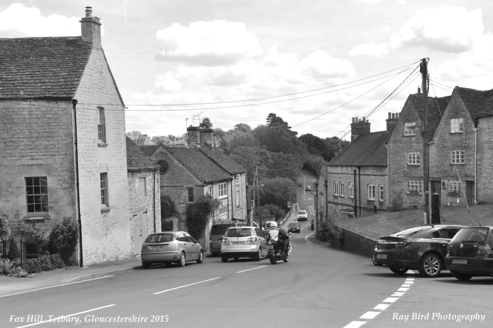 Fox HillEnclosure · 945 yd
 Enclosure in DerrinydalyEnclosure · 1386 yd
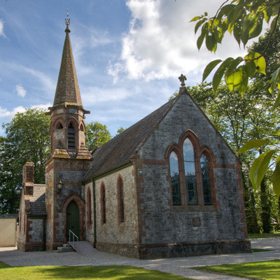 Church in BrannockstownChurch · 1.3 mi
 Trim CastleCastle, Anglo-Norman masonry castle · 2.8 mi
 Wych ElmWych Elm · 4.2 mi
 Saints IslandForest · 4.3 mi
 FraineMountain / peak · 6.2 mi
 Cloncurry GraveyardHeritage attraction · 8.2 mi
 Old Bog Road made famous by Teresa Bryton 1868-1943Memorial · 8.3 mi
 Kilgar GardensHeritage attraction · 8.9 mi