What is recorded here
Fairy fort in Friarspark, County Meath: a circular earthworks, about thirty metres across, with a ditch two to three metres wide. It sits on level ground, visible only when crops grow unevenly across the old ditch. People may have lived there, or excluded them, or simply marked the boundary between the known field and the unseen one.
Located on what is probably a fairly level landscape. The cropmark of a circular enclosure (diam. c. 30m) defined by a single fosse feature (Wth c. 2-3m) is visible on Google Earth (29/06/2018; 14/07/2018). It was first reported by Jean Charles Caillere.
See the attached image from Google Earth 14/07/2018
Compiled by: Michael Moore
Date of upload: 5 June 2019
The monument record does not grant public access. Check the route and ask the landowner before entering private land.
- What survives
- Recorded monument
Places near here
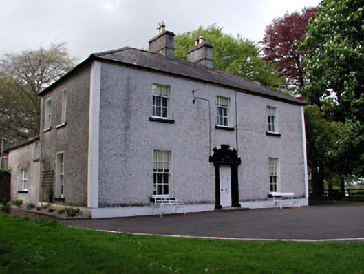 Fosterstown Housecountry house · 1068 yd
 Enclosure in Manorland (2nd Division)Enclosure · 1387 yd
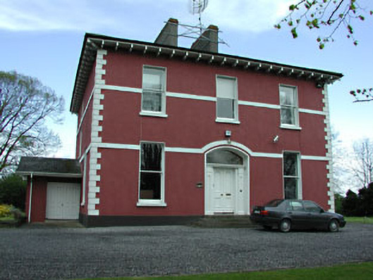 Mornington Househouse · 1569 yd
 Wellington MonumentMonument · 1.0 mi
 Trim CastleCastle, Anglo-Norman masonry castle · 1.2 mi
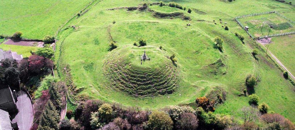 CastleCastle, motte · 1.4 mi
 Saints IslandForest · 3.3 mi
 Wych ElmWych Elm · 4.6 mi
 Old Bog Road made famous by Teresa Bryton 1868-1943Memorial · 8.4 mi
 Cloncurry GraveyardHeritage attraction · 8.6 mi
 Kilgar GardensHeritage attraction · 8.6 mi
 MullaghMountain / peak · 9.2 mi