
What is recorded here
Located on top of a prominent hill c. 650m SW of Trim Castle. The cropmark of a rectangular enclosure (dims c. 52m E-W; c. 50m N-S) defined by a single fosse or ditch feature (Wth c. 2m) is visible on oblique aerial photograph (CUCAP: BGH 78). It fits neatly into the NE corner of a current field and its N boundary could be formed by the E-W field bank, so it may be a fairly recent feature. The cropmark fosse is also visible on Google Earth (12/07/2013; 29/06/2018; 14/07/2018), and a wide entrance (Wth c. 10m) is visible at S on Digital Globe (2013).
The above description is derived from the published 'Archaeological Inventory of County Meath' (Dublin: Stationery Office, 1987). In certain instances the entries have been revised and updated in the light of recent research.
Compiled by: Michael Moore
Date of revision: 5 July 2019
A local fairy fort (ringfort/rath); wider significance not recorded.
The monument record does not grant public access. Check the route and ask the landowner before entering private land.
- What survives
- Recorded monument
Places near here
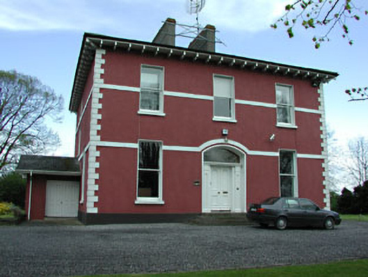 Mornington Househouse · 212 yd
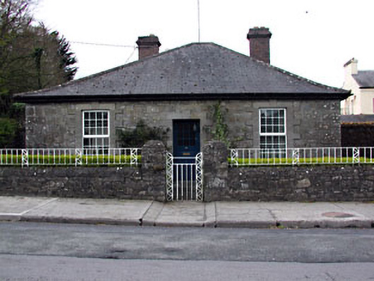 Wellington Lodgehouse · 253 yd
 Wellington MonumentMonument · 400 yd
 Trim CastleCastle, Anglo-Norman masonry castle · 788 yd
 Fortification in Manorland (1st Division)Fortification · 814 yd
 CastleCastle, hall-house · 842 yd
 Saints IslandForest · 3.5 mi
 Small-leaved ElmSmall-leaved Elm · 4.2 mi
 Old Bog Road made famous by Teresa Bryton 1868-1943Memorial · 9.0 mi
 Kilgar GardensHeritage attraction · 9.0 mi
 Cloncurry GraveyardHeritage attraction · 9.2 mi
 MullaghMountain / peak · 9.2 mi
Other information
Photo: Credit not shown in the picture search · Rights wording not checked; contact us if this picture should be removed