
Places near here
Photo credits
- National Inventory of Architectural Heritage
- Kmcnamee, Wikimedia Commons · CC BY-SA 4.0
- Garry Dickinson, Geograph · CC BY-SA 2.0
- Kieran Campbell, Geograph · CC BY-SA 2.0
- Dieglop, Wikimedia Commons · CC BY-SA 4.0
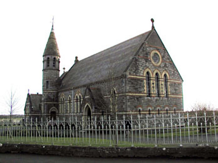 Catholic Church of Saint Martin of ToursChurch/chapel · 1284 yd
Explorer Tom Catholic Church of Saint Martin of Tours has polychromy that makes your eyes dance like it’s a disco. A cow once tried…
 Drumree GAAGAA ground · 1.7 mi
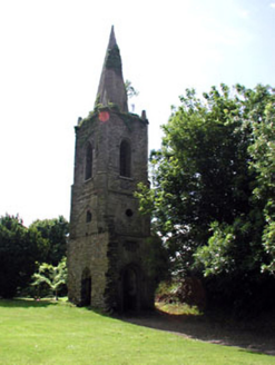 Knockmark ChurchChurch/chapel · 1.7 mi
Explorer Tom Knockmark Church is basically just a tower standing there after the main building got demolished, which is like losing…
 water pump1.9 mi
Explorer Tom Water pump in Knockmark has decorative banding that makes it look like a piece of art rather than a water source. It…
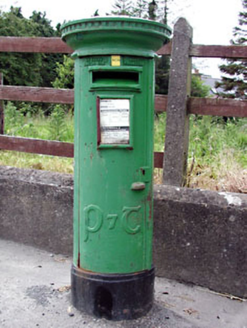 post box2.1 mi
Explorer Tom Post box in Knockmark is written in traditional Irish lettering, which makes it feel like a tiny monument to…
Moynalvey GAA pitchGAA ground · 2.3 mi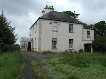 Seachnall HouseFarm house · 3.5 mi
Explorer Tom Seachnall House in Dunshaughlin ended up here because the map had a smudge of jam on it. It’s got timber sash windows…
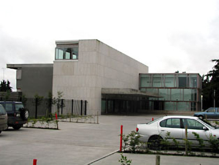 Dunshaughlin Civic OfficesOffice · 3.6 mi
Explorer Tom Dunshaughlin Civic Offices in Dunshaughlin thinks it’s too cool to need heating or cooling, which is bold for an office…
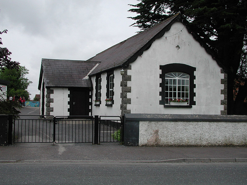 Dunshaughlin National SchoolSchool · 3.6 mi
Explorer Tom Dunshaughlin National School in Dunshaughlin is built on top of a legend about a giant who lost his keys. The 1887 date…
 Skreen CastleCastle, tower house · 6.7 mi
Explorer Tom Skreen Castle is overhearing every secret the walls have swallowed over the centuries and judging your life choices…
 CastleCastle, tower house · 8.8 mi
Explorer Tom Castle in Monktown is locked in an eternal feud with the rain, and honestly, it’s losing badly. You’ve got a Cistercian…
 MonasteryEcclesiastical residence · 16 mi
Explorer Tom Monastery in Slanecastle Demesne is no longer visible, which means it’s probably just a bunch of stories about…
More archaeology and monuments in County Meath · All of County Meath

What do you know about this place?Tap to add a comment or ask a question